MAPS
This 40-minute latitude and longitude lesson plan will help students understand how latitude and longitude are used to…
WORKSHEETS
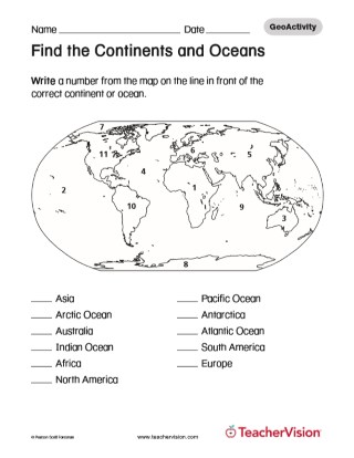
Use this activity to help your students recall geography and the location of different countries . With this printable…
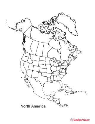
This black and white outline map features North America, and prints perfectly on 8.5 x 11 paper. It can be used for…
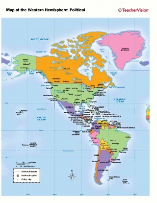
Use this printable map with your students to provide a political and physical view of the Western Hemisphere. After…
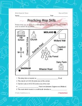
A great hands-on, supplemental activity to a map skills unit! A simple geography printable gives your class the chance…
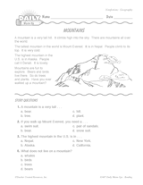
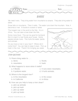
Students read a short, nonfiction passage about mountains and answer multiple-choice reading comprehension questions.…
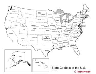
Birmingham or Montgomery? Austin or Houston? Detroit or Lansing? This U.S. map with state capitals is a great way to…
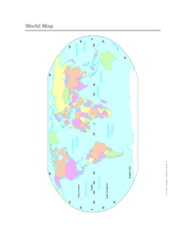
This printable outline map of the world provides a latitude and longitude grid. Use this social studies resource to help…
ASSESSMENT
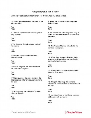
This True or False printable quiz will test your students' understanding of a variety of geography concepts such as…
Distribute this printable worksheet that is to be used as a supplement to the Latitude and Longitude Lesson Plan.…
TEACHING RESOURCE
A glossary of global geographic terms, including definitions of "longitude," "latitude," and other mapping words.
Use this printable colorful map with your students to provide a physical view of the world. After learning about this…
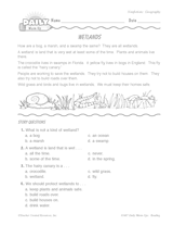
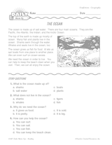
This printable warm-up features a nonfiction reading passage and comprehension questions about rivers. Use this warm-up…
Improve your students' reading comprehension skills with a short nonfiction passage and multiple-choice questions about…
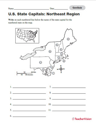
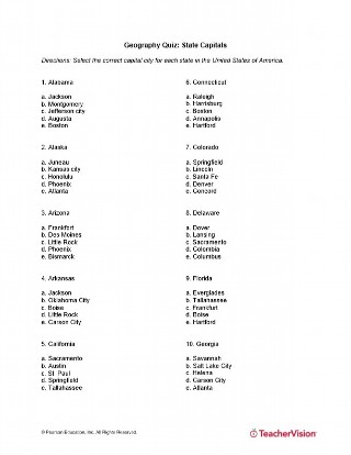
Build students' map skills with this printable and quiz! Assess students' knowledge of state capitals in the…
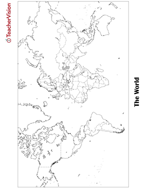
Blank world map worksheet with countries - outline, non-labeled template with borders - print or download. Blank World…
Teach students about geography while improving their reading comprehension skills. This printable reading warm-up…
EDITOR'S COLLECTIONS
Find images and information about Native American life in villages on the Great Plains of North America, including…
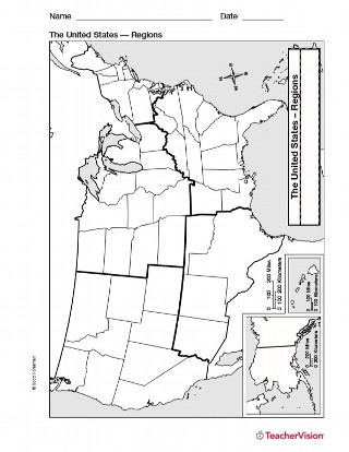
Study U.S. geography with this printable map of U.S. Regions. This will help you teach your students about the different…
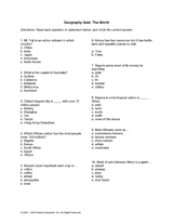
Ensure that your students have a grasp of world geography with this detailed quiz. They will be tested on African cash…
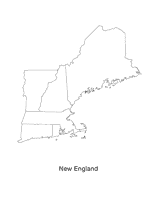
This blank map of the New England area with the states outlined is a great printable resource to teach your students…
This quiz will test your students' memory of the capitals of each state in the U.S. All fifty states are included! This…
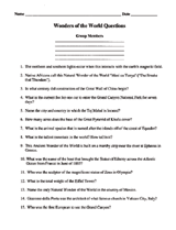
Students will use this sheet of questions to learn about the Wonders of the World. Write your answers on the blank…
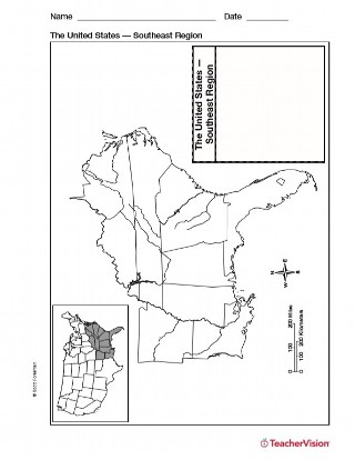
Use a printable outline map with your students that depicts the southeast region of the United States to enhance their…