MAPS
This 40-minute latitude and longitude lesson plan will help students understand how latitude and longitude are used to…
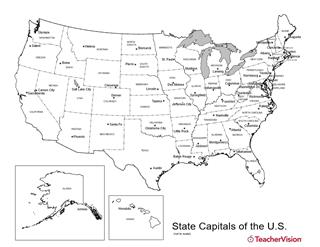
Birmingham or Montgomery? Austin or Houston? Detroit or Lansing? This U.S. map with state capitals is a great way to…
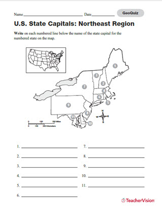
Distribute this printable worksheet that is to be used as a supplement to the Latitude and Longitude Lesson Plan.…
TEACHING RESOURCE
A glossary of global geographic terms, including definitions of "longitude," "latitude," and other mapping words.
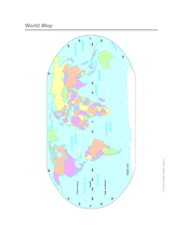
Use this printable colorful map with your students to provide a physical view of the world. After learning about this…
WORKSHEETS
Build students' map skills with this printable and quiz! Assess students' knowledge of state capitals in the…
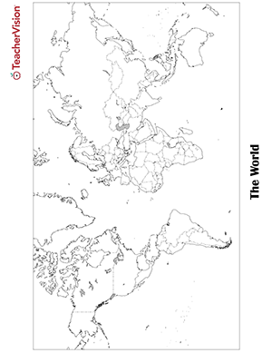
Blank world map worksheet with countries - outline, non-labeled template with borders - print or download. Blank World…
EDITOR'S COLLECTIONS
Find images and information about Native American life in villages on the Great Plains of North America, including…
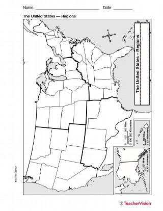
Study U.S. geography with this printable map of U.S. Regions. This will help you teach your students about the different…
ASSESSMENT
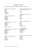
Ensure that your students have a grasp of world geography with this detailed quiz. They will be tested on African cash…
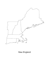
This blank map of the New England area with the states outlined is a great printable resource to teach your students…
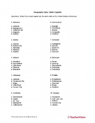
This quiz will test your students' memory of the capitals of each state in the U.S. All fifty states are included! This…
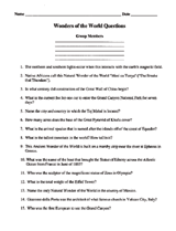
Students will use this sheet of questions to learn about the Wonders of the World. Write your answers on the blank…
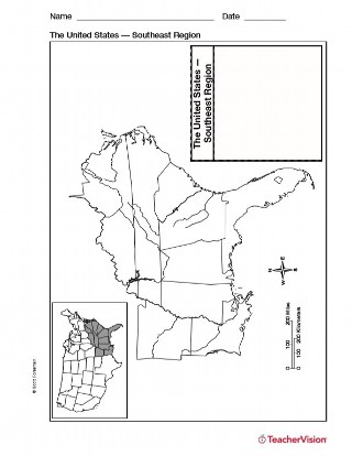
Use a printable outline map with your students that depicts the southeast region of the United States to enhance their…
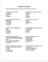
Assess your students' map skills with this quiz. Ensure that they know the difference between a compass rose and the map…
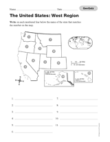
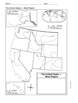
Use this printable geography quiz to assess students' knowledge of the names of the states of the Western region of the…
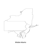
This blank map of the Mid-Atlantic region with states outlined is a great printable resource to teach your students…
Students create a poster about Australia using fact sheets and a map.
Use a printable outline map that depicts the western United States. It can be used as a reference tool as students…
Get students excited about ancient history with these printable worksheets for Mythology: The Gods, Heroes, and Monsters…
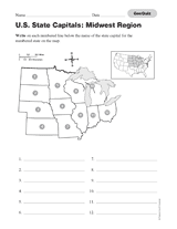
Assess your students' knowledge of the states and their capitals located in the Midwestern region of the United States…
GAMES AND APPS
These printable mapping activities are sure to keep your students engaged in learning geography. There are crossword…
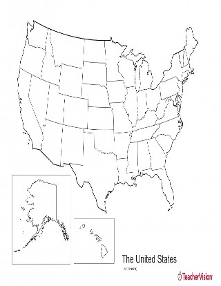
This blank map of USA with states outlined is a great printable resource to teach your students about the geography of…
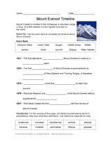
Review the chronology of attempts to ascend Mount Everest with this printable word fill. Pupils will learn about the…