MAPS
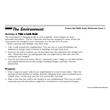
Students pretend to be a historians as they gather data about the environment over the last 25 years and learn how to…
ACTIVITIES
Students are asked to identify the location of cities on a map and determine the distances between them. Assesses their…
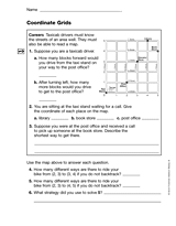
Students practice reading a grid as a map. This printable can be used as an introduction to a lesson teaching students…
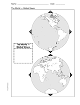
This printable world map provides two global viewpoints.
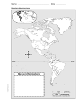
Use this with your students to Improve their geography skills with a printable outline map that depicts the Western…
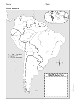
Use a printable outline map that depicts South America.
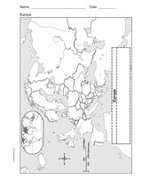
Enhance geography and history lessons with a printable outline map that depicts Europe.
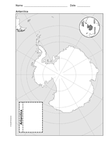
Use a printable outline map that depicts Antarctica.
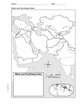
This printable outline of West and Southeast Asia is a great printable resource to build students geographical skills.…
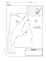
Use a printable outline map that depicts the state of Alabama.
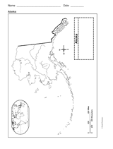
This printable outline of Alaska is a great printable resource to build students geographical skills. This is an…
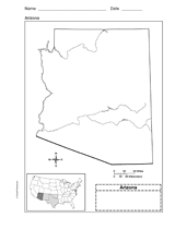
Use a printable outline map that depicts the state of Arizona.
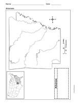
Use a printable outline map that depicts the state of Arkansas.
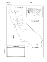
Use a printable outline map that depicts the state of California.
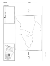
Use a printable outline map that depicts the state of Colorado.
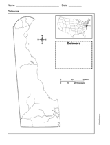
Use a printable outline map that depicts the state of Delaware.
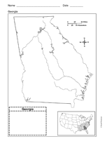
Use a printable outline map that depicts the state of Georgia.
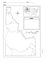
Use a printable outline map that depicts the state of Idaho.
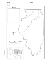
Use a printable outline map that depicts the state of Illinois.
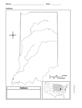
Use a printable outline map that depicts the state of Indiana.
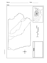
This printable outline map depicts the state of Iowa. Use this map in your next geography or social studies lesson.
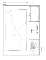
Use a printable outline map that depicts the state of Kansas.
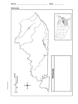
Use a printable outline map that depicts the state of Kentucky.
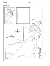
Use a printable outline map that depicts the state of Louisiana.