MAPS
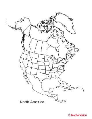
This black and white outline map features North America, and prints perfectly on 8.5 x 11 paper. It can be used for…
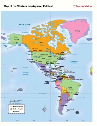
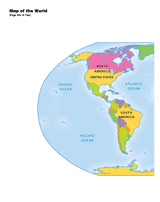
Use this printable map with your students to provide a political and physical view of the Western Hemisphere. After…
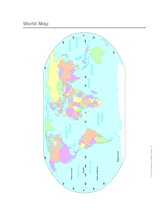
Use this printable colorful map with your students to provide a physical view of the world. After learning about this…
Here you'll find printable maps of the world, each of the continents, regions of the world, and more.
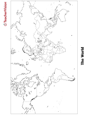
Blank world map worksheet with countries - outline, non-labeled template with borders - print or download. Blank World…
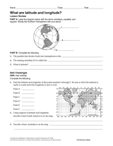
Give your students practice with geographic coordinates in this activity . In this printable worksheet, students will…
EDITOR'S COLLECTIONS
Explore the world through printable maps depicting continents, countries, capitals, climate zones, oceans, landforms,…
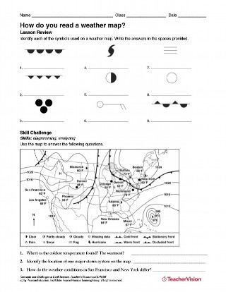
After identifying each of the symbols used on a weather map, students will use a map to answer questions about weather…
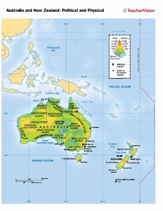
Use this printable map with your students to provide a political and physical view of Australia and New Zealand. After…
GAMES AND APPS
These printable mapping activities are sure to keep your students engaged in learning geography. There are crossword…
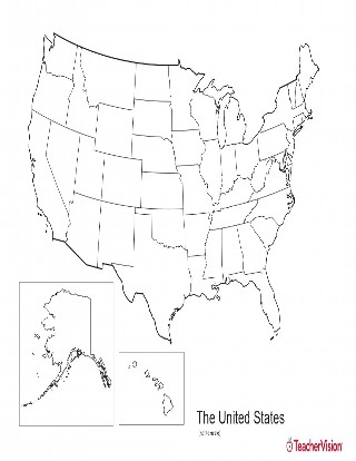
This blank map of USA with states outlined is a great printable resource to teach your students about the geography of…
With this slideshow, you'll discover great maps and geography-related activities to utilize in the classroom. All of…
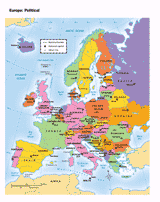
You can use this printable map to provide a political view of Europe. It will not only help your students improve their…
Use a printable 2-page map to provide a full color view of the world. Each continent is labeled. This map will help your…
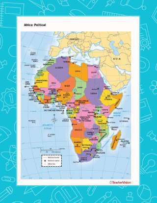
Use this printable map with your students to provide a political and physical view of Africa. After learning about this…
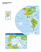
Use this printable map with your students to provide a physical view of the world. After learning about all the key…
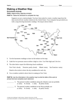
Use the data in this Earth science printable to create a weather map of the United States.
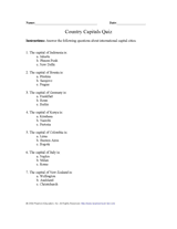
Teach pupils about capital cities of the world with this printable geography quiz.
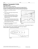
Follow the steps in this Earth science printable to make a topographic profile of a map.
CLASSROOM TOOLS
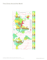
Use this printable map with your students to compare time differences and visualize the boundaries of time zones around…
Test your pupils about travel, travel destinations, and tourism with this printable geography quiz.
Print this outline map of South America.
Enhance students' reading experience of Tolkien's The Hobbit with lesson planning resources that accompany chapters…
A list of rivers, 350 miles or longer, in the United States.