MAPS
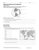
This 40-minute latitude and longitude lesson plan will help students understand how latitude and longitude are used to…
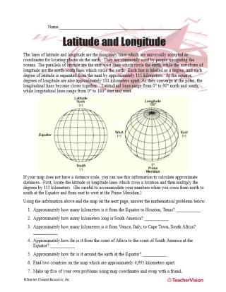
Latitude and longitude are imaginary lines universally accepted as coordinates for locating places on Earth. Students…
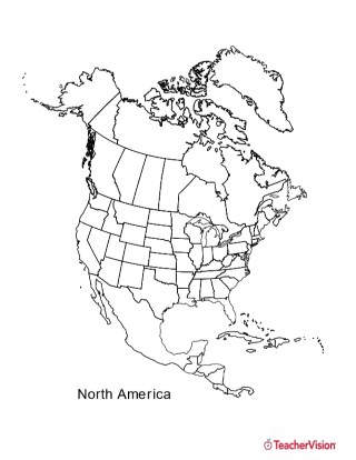
This black and white outline map features North America, and prints perfectly on 8.5 x 11 paper. It can be used for…
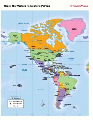
Use this printable map with your students to provide a political and physical view of the Western Hemisphere. After…
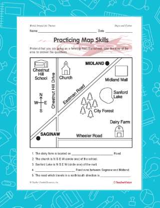
A great hands-on, supplemental activity to a map skills unit! A simple geography printable gives your class the chance…
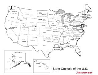
Birmingham or Montgomery? Austin or Houston? Detroit or Lansing? This U.S. map with state capitals is a great way to…
This printable outline map of the world provides a latitude and longitude grid. Use this social studies resource to help…
Introduce students to the history and locations of the Modern Olympic Games.
Distribute this printable worksheet that is to be used as a supplement to the Latitude and Longitude Lesson Plan.…
Here you'll find printable maps of the world, each of the continents, regions of the world, and more.
WORKSHEETS
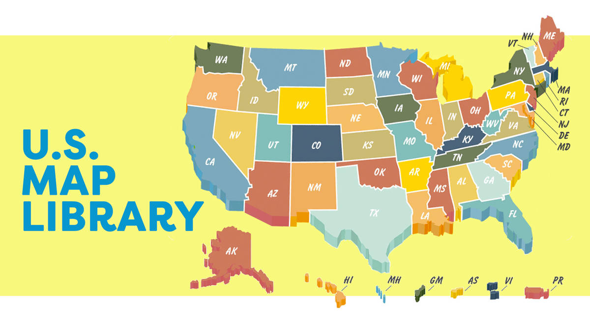
Browse through a selection of printable maps of the U.S. states, U.S. regions, continents, and more. Plus, use our…
Give your students practice with geographic coordinates in this activity . In this printable worksheet, students will…
Use this chart to plan the Pilgrim Study Unit (objectives and materials) of six lessons. Students will learn all about…
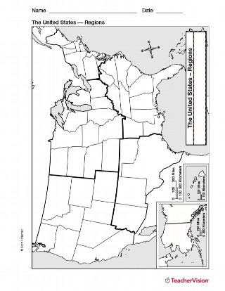
Study U.S. geography with this printable map of U.S. Regions. This will help you teach your students about the different…
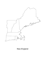
This blank map of the New England area with the states outlined is a great printable resource to teach your students…
EDITOR'S COLLECTIONS
Explore the world through printable maps depicting continents, countries, capitals, climate zones, oceans, landforms,…
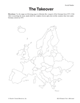
Use these maps to illustrate the German takeover of Europe from 1933-44.
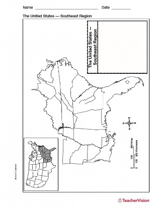
Use a printable outline map with your students that depicts the southeast region of the United States to enhance their…
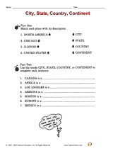
Distribute a printable social studies activity to your students that focuses on identifying and categorizing geographic…
Find different printable maps of each state in the U.S. There are physical maps, maps with capitals, and maps of…
Making maps will help students to use scale and compasses.
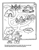
Young children will develop their mapping skills as they help Dora find her way to the blueberry patch, in this…
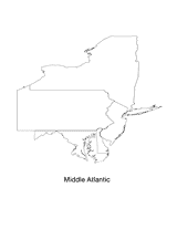
This blank map of the Mid-Atlantic region with states outlined is a great printable resource to teach your students…
Students create a poster about Australia using fact sheets and a map.