MAPS
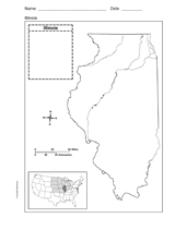
Use a printable outline map that depicts the state of Illinois.
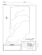
Use a printable outline map that depicts the state of Indiana.
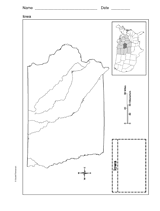
This printable outline map depicts the state of Iowa. Use this map in your next geography or social studies lesson.
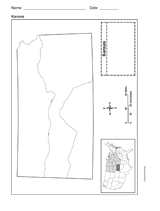
Use a printable outline map that depicts the state of Kansas.
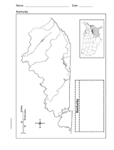
Use a printable outline map that depicts the state of Kentucky.
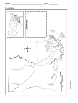
Use a printable outline map that depicts the state of Louisiana.
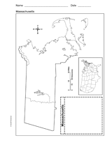
Use a printable outline map that depicts the state of Massachusetts.
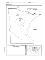
Use a printable outline map that depicts the state of Minnesota.
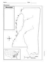
Use a printable outline map that depicts the state of Mississippi.
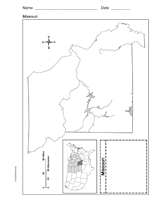
Use a printable outline map that depicts the state of Missouri.
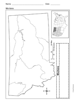
Use a printable outline map that depicts the state of Montana.
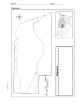
Use a printable outline map that depicts the state of Nebraska.
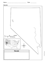
Use a printable outline map that depicts the state of Nevada.
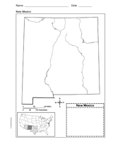
Use a printable outline map that depicts the state of New Mexico.
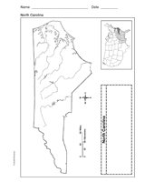
Use a printable outline map that depicts the state of North Carolina.
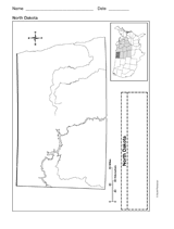
Use a printable outline map that depicts the state of North Dakota.
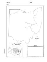
Use this printable outline map that depicts the state of Ohio in your next geography or social studies lesson.
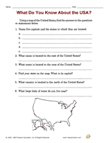
Distribute a printable social studies activity that focuses on locating states on a map of the United States of America.
Distribute a printable social studies activity that focuses on locating one's own hometown.
Distribute a printable social studies activity that focuses on locating U.S. cities/states, and adjacent oceans.
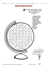
Distribute a printable social studies activity that focuses on globe terms.
Distribute a printable social studies activity that focuses on geography and map and globe skills.
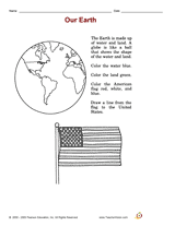
Distribute a printable social studies activity that focuses on land/water identification.
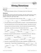
Your students will work on providing clear and coherent directions in this activity. The aim is for students to Fill in…