MAPS
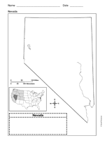
Use a printable outline map that depicts the state of Nevada.
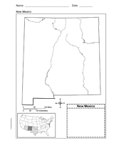
Use a printable outline map that depicts the state of New Mexico.
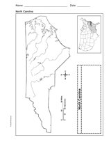
Use a printable outline map that depicts the state of North Carolina.
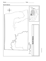
Use a printable outline map that depicts the state of North Dakota.
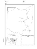
Use this printable outline map that depicts the state of Ohio in your next geography or social studies lesson.
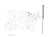
Distribute a printable social studies activity that focuses on locating states on a map of the United States of America.
Distribute a printable social studies activity that focuses on locating one's own hometown.
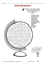
Distribute a printable social studies activity that focuses on globe terms.
Distribute a printable social studies activity that focuses on geography and map and globe skills.
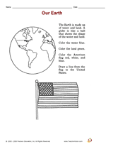
Distribute a printable social studies activity that focuses on land/water identification.
WORKSHEETS
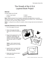
Assemble a book that shows the expansion of United States territory from 1783 to 1959.
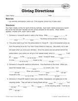
Your students will work on providing clear and coherent directions in this activity. The aim is for students to Fill in…
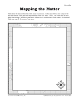
Students construct a topographic map.
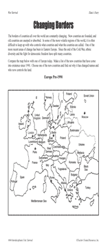
Students examine changing boundaries using a map of Europe, pre-1990.
GAMES AND APPS
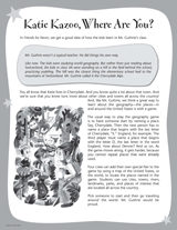
Play a geography game with your class while reading the Katie Kazoo, Switcheroo books.
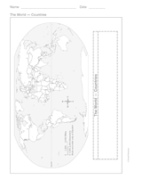
This printable outline of the world is a great printable resource to build students geographical and critical thinking…
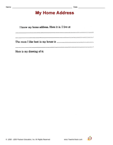
Distribute a printable social studies activity that focuses on home address.
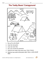
Distribute a printable social studies activity that focuses on identifying map symbols and understanding directions.
Interpret symbols and cardinal directions to locate places on the School Map.
Use this lesson with your students to help them Interpret symbols and cardinal directions to locate places on the…
Use a printable map of the United States with a distance key to help your students improve their geography and math…
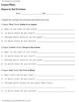
Learn the names and locations of states in certain regions of the United States.
Students create a map that fits the events of a story.