MAPS
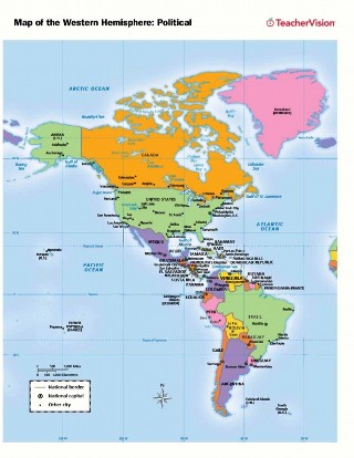
Use this printable map with your students to provide a political and physical view of the Western Hemisphere. After…
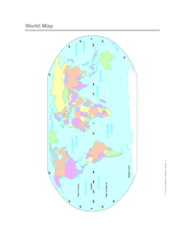
Use this printable colorful map with your students to provide a physical view of the world. After learning about this…
Here you'll find printable maps of the world, each of the continents, regions of the world, and more.
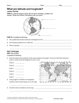
Give your students practice with geographic coordinates in this activity . In this printable worksheet, students will…
EDITOR'S COLLECTIONS
Explore the world through printable maps depicting continents, countries, capitals, climate zones, oceans, landforms,…
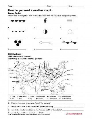
After identifying each of the symbols used on a weather map, students will use a map to answer questions about weather…
GAMES AND APPS
These printable mapping activities are sure to keep your students engaged in learning geography. There are crossword…
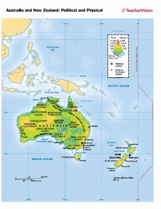
Use this printable map with your students to provide a political and physical view of Australia and New Zealand. After…
With this slideshow, you'll discover great maps and geography-related activities to utilize in the classroom. All of…
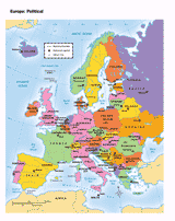
You can use this printable map to provide a political view of Europe. It will not only help your students improve their…
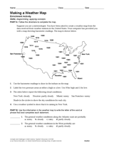
Use the data in this Earth science printable to create a weather map of the United States.
CLASSROOM TOOLS
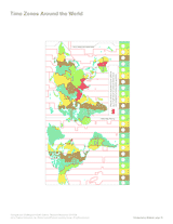
Use this printable map with your students to compare time differences and visualize the boundaries of time zones around…
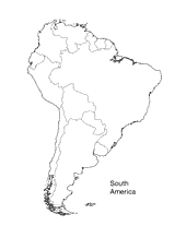
Print this outline map of South America.
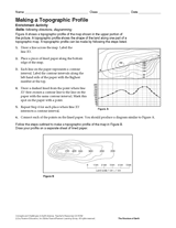
Follow the steps in this Earth science printable to make a topographic profile of a map.
Enhance students' reading experience of Tolkien's The Hobbit with lesson planning resources that accompany chapters…
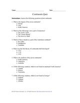
Test your pupils' knowledge of the seven continents with this printable geography quiz.
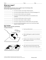
Compare the functions of a map and a globe with this printable. Students must determine which geography resource would…
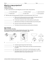
In this geography printable, students identify the objects needed to make a map projection and classify each projection…
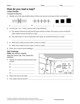
Challenge students to identify map symbols and use a scale to calculate distance. In this social studies printable,…
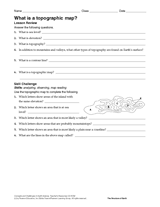
In this social studies printable, students will answer questions about topographic maps and practice map reading.
Review map symbols with this social studies printable. Students will use an atlas or other reference materials to…
Build students' geography skills with the maps and activities in this printable book. A range of maps covers both the…
WORKSHEETS
The questions in this Earth science printable will help students review several types of erosion and the effects of…
Learn about the Geography Hall of Fame with information on the world's largest continent, longest lagoon, and more!