MAPS
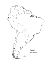
Print this outline map of South America.
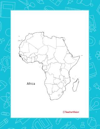
This outline map of Africa will help students recognize and identify the major countries and geographical features of…
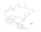
This activity is a great way to teach children about Asia, the largest of the world's continents. Students can use this…
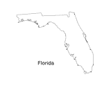
Print out a blank outline map of Florida to help your students learn more about the Sunshine State. This can be used…
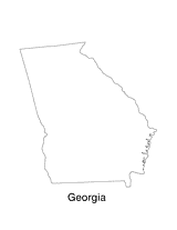
Print out a blank outline map of Georgia to help your students learn more about the this state. This can be used with…
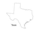
Print out a blank outline map of Texas to help your students learn more about the Lonestar State. This can be used with…
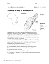
Use this printable to teach children how to read a map of Madagascar.
A chart listing the highest mountain peaks in the United States.
A chart listing geographical highs, lows, and boundaries of the U.S.
A list of World Heritage sites in the United States.
Do you know what language is spoken in Belize? Look at this chart to find the answer to that question and what languages…
REFERENCE
Read this country profile to learn about Canada's history, government, geography and economy.
Learn about the Geography Hall of Fame with information on the world's largest continent, longest lagoon, and more!
The following table lists the approximate land area, highest elevation, and lowest elevation of the world's continents,…
All 14 of the world's tallest peaks are located in the Himalaya or the Karakoram ranges in Asia.
The following is a list of dependencies, colonies, and territories that are under the jurisdiction of another country.
Learn about the differences between climate maps, topographic maps, and others types of maps.
Learn about interesting caves and caverns of the world, including Aggtelek in Hungary, Blue Grotto in Italy, Kent's…
Basic information about the geography, government, and history of Australia.
Enhance social studies units with the geography transparencies and visuals in this slideshow. Printable maps on…
ACTIVITIES
Students are asked to identify the location of cities on a map and determine the distances between them. Assesses their…
EDITOR'S COLLECTIONS
Enhance your geography lessons with printable maps of the United States. The maps in this gallery depict U.S. regions,…
Help your students get hooked on history through map activities and story-telling ideas that will make past events come…
Challenge children to identify which countries have changed their names with this classroom game.