MAPS
Birmingham or Montgomery? Austin or Houston? Detroit or Lansing? This U.S. map with state capitals is a great way to…
WORKSHEETS
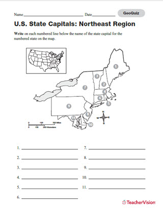
Build students' map skills with this printable and quiz! Assess students' knowledge of state capitals in the…
LESSON PLANS
Students will research an historically important site and make a project explaining its historical importance.
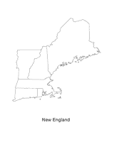
This blank map of the New England area with the states outlined is a great printable resource to teach your students…
Find different printable maps of each state in the U.S. There are physical maps, maps with capitals, and maps of…
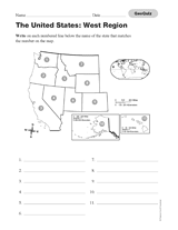
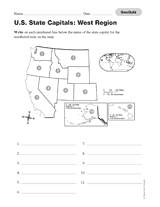
Use this printable geography quiz to assess students' knowledge of the names of the states of the Western region of the…
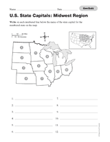
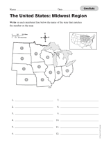
Assess your students' knowledge of the states and their capitals located in the Midwestern region of the United States…
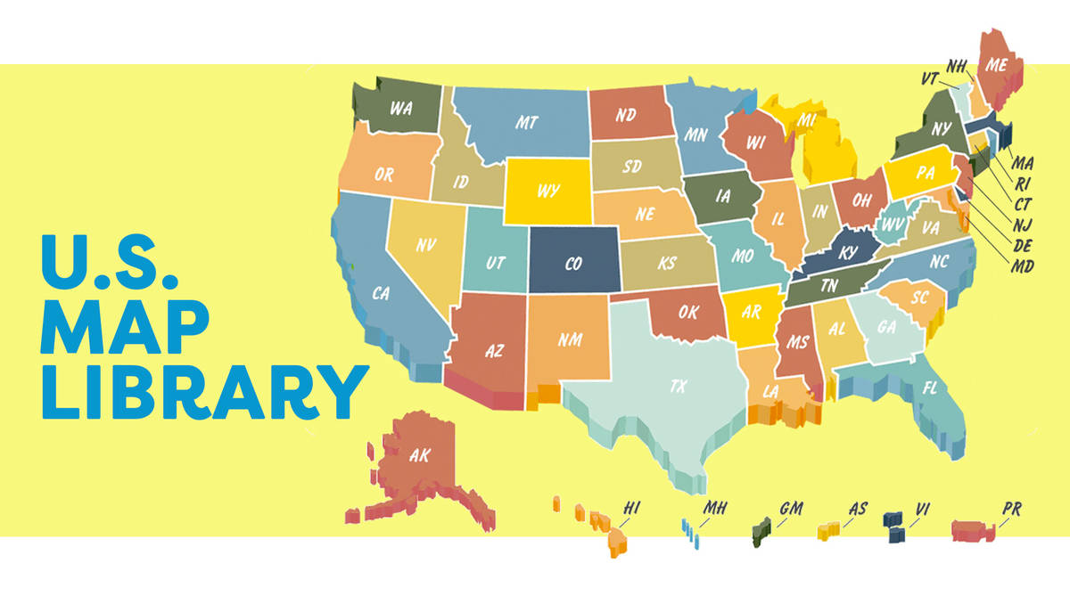
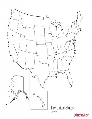
This blank map of USA with states outlined is a great printable resource to teach your students about the geography of…
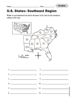
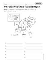
Use this printable geography quiz to assess students' knowledge of the names of the states of the Southeastern region of…
Use this printable geography quiz to assess students' knowledge of the names of the states of the Midwestern region of…
Assess your students' knowledge of the states and their capitals located in the Western region of the United States with…
Assess your students' knowledge of the states and their capitals located in the Southeastern region of the United States…
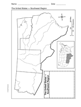
Explore the geography of Texas, Arizona, Oklahoma, and New Mexico with a printable outline map that depicts the…
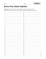
Assess your students' knowledge of the states of the United States and their capitals with this printable geography…
BOOK GUIDES
Use these discussion questions to check your students' comprehension of A Year Down Yonder.
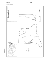
Use a printable outline map that depicts the state of Connecticut.
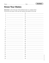
Use this printable geography quiz to assess students' knowledge of the names of the states of the United States by…
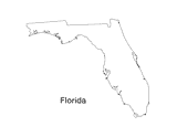
Print out a blank outline map of Florida to help your students learn more about the Sunshine State. This can be used…
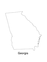
Print out a blank outline map of Georgia to help your students learn more about the this state. This can be used with…
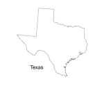
Print out a blank outline map of Texas to help your students learn more about the Lonestar State. This can be used with…
A chart listing interesting facts about each state.
A chart listing U.S. state capitals and the largest city in each state.
A chart listing U.S. National Scenic Trails.
A chart listing the origin of U.S. state names.