MAPS
Use this printable writing activity to focus on using commas between cities/towns and states.
Do you know what language is spoken in Belize? Look at this chart to find the answer to that question and what languages…
Learn about the differences between climate maps, topographic maps, and others types of maps.
Zip codes and abbreviations of the United States.
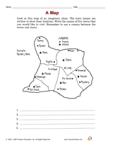
Increase social studies skills with an activity that focuses on locating cities and states on a map.
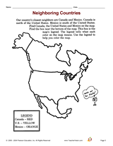
Increase social studies skills with an activity that focuses on a map of North America.
WORKSHEETS
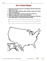
Increase social studies skills with an activity that focuses on mapping out locations in the student's home state.
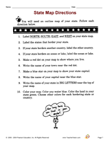
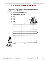
Increase social studies skills with an activity that focuses on following compass directions.
ACTIVITIES
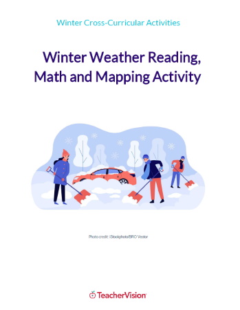
This winter themed activity packet for upper elementary or lower middle grades is perfect for helping students apply the…
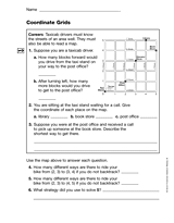
Students practice reading a grid as a map. This printable can be used as an introduction to a lesson teaching students…
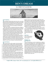
Bring geography to life with this printable teacher's guide to Ben's Dream, a children's book by Chris Van Allsburg. The…
EDITOR'S COLLECTIONS
Browse a printable teacher resource book that will stimulate your students' interest in their community and the world…
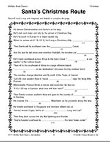
Teach children how to read maps with this printable Christmas game. This is a fun geography activity to enjoy during…
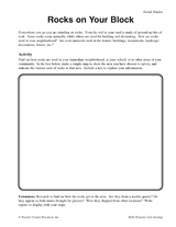
Students make a map of a neighborhood based on where rocks are being used.
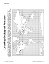
Students make a map of volcanic activity and plate tectonics around the world.
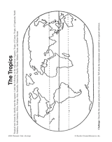
In this activity, students complete and illustrate a map showing the location of the tropics.
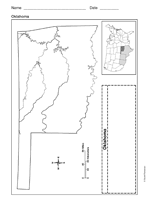
Use a printable outline map that depicts the state of Oklahoma.
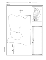
Use a printable outline map that depicts the state of Oregon.
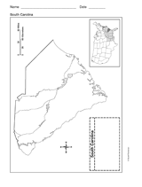
Use a printable outline map that depicts the state of South Carolina.
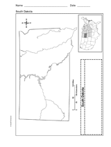
Use a printable outline map that depicts the state of South Dakota.
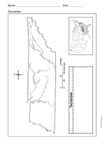
Use a printable outline map that depicts the state of Tennessee.
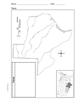
Use a printable outline map that depicts the state of Texas.
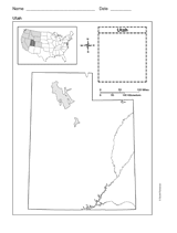
This printable outline map depicts the state of Utah. This will be a useful tool in geography and history classes.
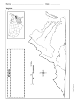
Use a printable outline map that depicts the state of Virginia.