MAPS
Students practice writing and word processing a letter to be used in The Great Mail Race.
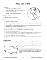
Hand out a printable computer activity that reinforces students' basic map skills, as they use the Internet to find the…
A chart listing interesting facts about each state.
A chart listing U.S. state capitals and the largest city in each state.
A chart listing U.S. National Monuments.
A chart listing U.S. National Scenic Trails.
A chart listing the origin of U.S. state names.
A chart listing the extreme geographical points of the United States.
A chart of the highest, lowest, and mean elevations in the United States, by state.
A chart listing geographical highs, lows, and boundaries of the U.S.
A list of World Heritage sites in the United States.
Do you know what language is spoken in Belize? Look at this chart to find the answer to that question and what languages…
Learn about the differences between climate maps, topographic maps, and others types of maps.
A list of Christopher Columbus's voyages and the places he landed on each of them.
REFERENCE
An article discussing the voyages of Christopher Columbus and what he really discovered.
Zip codes and abbreviations of the United States.
EDITOR'S COLLECTIONS
Enhance your geography lessons with printable maps of the United States. The maps in this gallery depict U.S. regions,…
Help your students get hooked on history through map activities and story-telling ideas that will make past events come…
Children will research the scenery of a Hawaiian island, Kauai, with this printable.
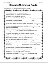
Teach children how to read maps with this printable Christmas game. This is a fun geography activity to enjoy during…
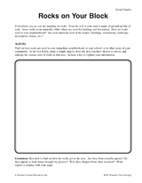
Students make a map of a neighborhood based on where rocks are being used.
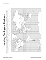
Students make a map of volcanic activity and plate tectonics around the world.
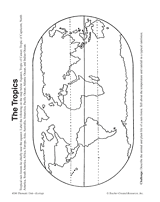
In this activity, students complete and illustrate a map showing the location of the tropics.
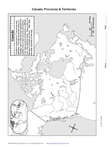
With the map provided, students will draw the boundaries of Canada's provinces and territories. Then, they will label…