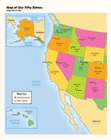
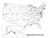
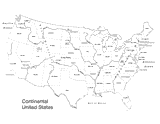
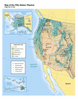
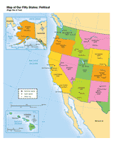
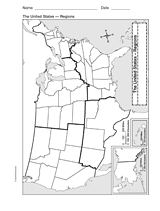
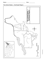
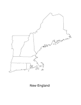
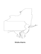
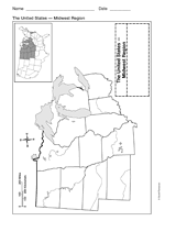
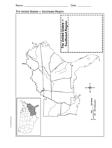
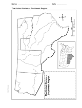
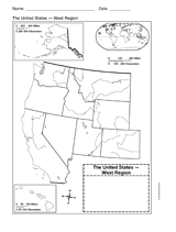
Enhance your geography lessons with printable maps of the United States. The maps in this gallery depict the political geography and physiography of the United States, including state capitals, major cities, state boundaries, geographic regions, mountain ranges, rivers, and the Great Lakes. Explore our Map Library to discover even more great resources.
Grades:
4
5
6
7
8
9
10
11
12
Simplified Content Type
Map of the United States

Map of the United States

A printable outline map of the United States. This is a perfect reference for social studies, geography, and history courses.
U.S. Map with Distance Key

U.S. Map with Distance Key

Use a printable map of the United States with a distance key to help your students improve their geography and math skills.
Colorful Map of the United States

Colorful Map of the United States

Use a printable map to provide a full color view of the fifty United States.
United States Map (Outline)

United States Map (Outline)

Print this outline map of the United States of America. This map is an excellent way to encourage children to color and label all fifty states.
U.S. Map with State Capitals

U.S. Map with State Capitals

Political outline map of the United States of America, which includes state names and state capitals. This printable will help your students improve their geography skills.
U.S. Map with Physiography

U.S. Map with Physiography

Use an outline map of the United States with physiography to help your students improve their geography skills.
Physical Map of the United States

Physical Map of the United States

Use a printable map to provide a physical view of the United States.
Political Map of the United States

Political Map of the United States

Use a printable map to provide a political view of the United States. This social studies reference shows major U.S. rivers, the Great Lakes, the national capital, state capitals, and other large cities.
Map of U.S. Regions

Map of U.S. Regions

Study U.S. geography with this printable outline map that depicts the regions of the United States.
Map of Northeast United States

Map of Northeast United States

Study the northeast region of the United States with this printable outline map. This map will help your students improve their U.S. geography skills.
New England

New England

Print this outline map of the New England area of the United States.
Mid Atlantic

Mid Atlantic

Print this outline map of the Mid Atlantic United States.
Map of Midwest United States

Map of Midwest United States

Use a printable outline map that depicts the Midwest region of the United States to help your students improve their geography skills.
Map of Southeast United States

Map of Southeast United States

Use a printable outline map that depicts the southeast region of the United States to enhance your study of geography.
Map of Southwest United States

Map of Southwest United States

Explore the geography of Texas, Arizona, Oklahoma, and New Mexico with a printable outline map that depicts the southwest region of the United States.
Map of Western United States

Map of Western United States

Use a printable outline map that depicts the western United States.
Pacific West

Pacific West

Print this outline map of the Pacific western United States.
loading gif