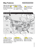
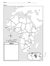
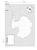
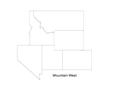
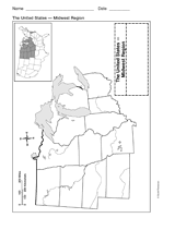
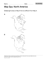
Take a look inside our printable book "Maps & Activities (Grades 4-12)," with this sneak peek slideshow. With this slideshow, you'll see some of the many maps and geography-related activities inside the printable book, including games, puzzles, political maps, and more!
Subjects:
Simplified Content Type
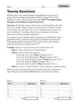
Geography Twenty Questions
This printable game has students use Geography Flash Cards to test their knowledge of geographical terms, the world, and the United States.
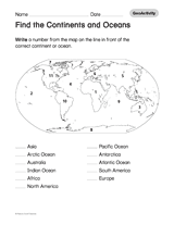
Maps & Activities Printable Book (Grades 4-12)
If you enjoyed this slideshow, you'll love what you'll find in printable book! There are many more geography activities and maps inside. The book is only available to subscribers, so to see more sign up for a free-trial membership today!