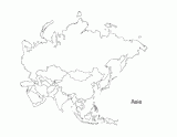
This activity is a great way to teach children about Asia, the largest of the world's continents. Students can use this outline map as a way of learning and reviewing the different countries in Asia as an individual unit or as a comprehensive study of the world. Once students are done labeling the map, encourage students to color it to make it even more realistic. If you students are going even more in depth with their studies, include cities, the weather, or political aspects as well. This black and white map prints perfectly on 8.5 x 11 paper.


