WORKSHEETS
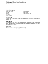
Students make a model of a landform with a foil pan, pebbles, and fine sand, and observe how drops of water and poured…
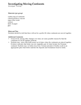
Students investigate how continents fit together by cutting up and piecing together the Earth's continents. Materials…
MAPS
Children learn to read a map.
Students help a bear go through the forest maze back to his cave.
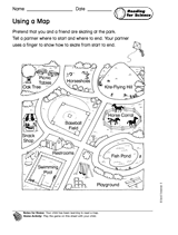
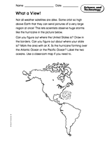
Students learn to read an unlabeled map, and learn basic geography of the Americas.
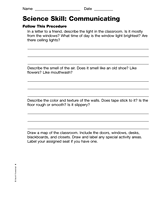
Students describe the classroom, draw a map of it, and measure it.
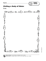
Students draw and label a body of water.
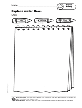
Children illustrate how water flow changed each time it was poured over a landform.
Integrate math with social studies through these literature-based activities for Nine O'clock Lullaby by Marilyn Singer.…
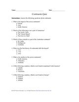
Test your pupils' knowledge of the seven continents with this printable geography quiz.
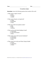
Expand pupils' knowledge of the countries of the world by giving them this printable quiz.
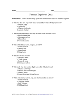
Pupils learn about important explorers and their discoveries by taking this printable geography quiz.
Give students practice with maps as they study the structure of the Earth. In this printable, students will analyze a…
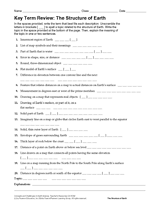
Review Earth's structure and the meaning of map symbols with this vocabulary printable and word puzzle.
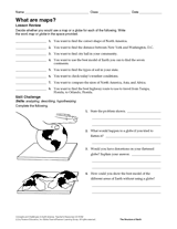
Compare the functions of a map and a globe with this printable. Students must determine which geography resource would…
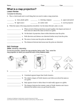
In this geography printable, students identify the objects needed to make a map projection and classify each projection…
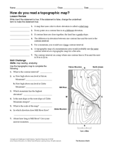
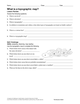
In this social studies printable, students will answer questions about topographic maps and practice map reading.
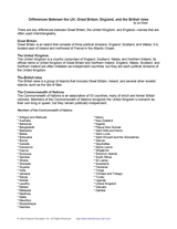
Use this printable to review the key differences between Great Britain, the United Kingdom, and England—names that are…
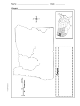
Use a printable outline map that depicts the state of Oregon.
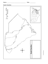
Use a printable outline map that depicts the state of South Carolina.
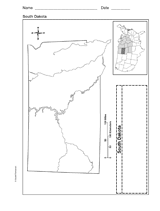
Use a printable outline map that depicts the state of South Dakota.
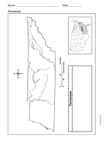
Use a printable outline map that depicts the state of Tennessee.
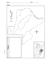
Use a printable outline map that depicts the state of Texas.
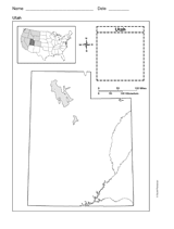
This printable outline map depicts the state of Utah. This will be a useful tool in geography and history classes.