MAPS
A chart listing the highest mountain peaks in the United States.
A chart of the highest, lowest, and mean elevations in the United States, by state.
A chart listing geographical highs, lows, and boundaries of the U.S.
A brief explanation of the North American continental divide.
A list of World Heritage sites in the United States.
Do you know what language is spoken in Belize? Look at this chart to find the answer to that question and what languages…
Zip codes and abbreviations of the United States.
Enhance social studies units with the geography transparencies and visuals in this slideshow. Printable maps on…
EDITOR'S COLLECTIONS
Enhance your geography lessons with printable maps of the United States. The maps in this gallery depict U.S. regions,…
Students pretend to be a historians as they gather data about the environment over the last 25 years and learn how to…
ACTIVITIES
Students are asked to identify the location of cities on a map and determine the distances between them. Assesses their…
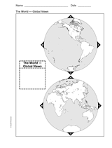
This printable world map provides two global viewpoints.
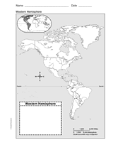
Use this with your students to Improve their geography skills with a printable outline map that depicts the Western…
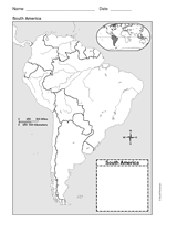
Use a printable outline map that depicts South America.
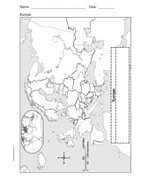
Enhance geography and history lessons with a printable outline map that depicts Europe.
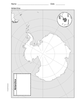
Use a printable outline map that depicts Antarctica.
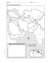
This printable outline of West and Southeast Asia is a great printable resource to build students geographical skills.…
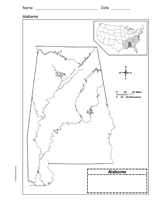
Use a printable outline map that depicts the state of Alabama.
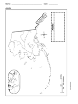
This printable outline of Alaska is a great printable resource to build students geographical skills. This is an…
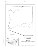
Use a printable outline map that depicts the state of Arizona.
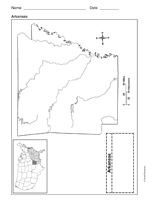
Use a printable outline map that depicts the state of Arkansas.
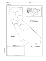
Use a printable outline map that depicts the state of California.
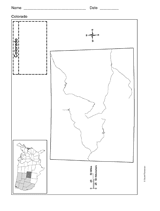
Use a printable outline map that depicts the state of Colorado.
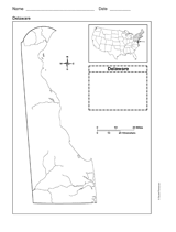
Use a printable outline map that depicts the state of Delaware.