MAPS
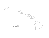
Blank outline map of Hawaii.
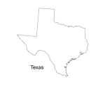
Print out a blank outline map of Texas to help your students learn more about the Lonestar State. This can be used with…
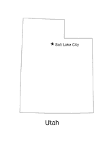
Blank outline map of Utah with state capital.
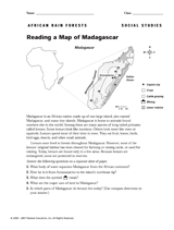
Use this printable to teach children how to read a map of Madagascar.
Enhance students' reading experience of Tolkien's The Hobbit with lesson planning resources that accompany chapters…
Hand out a printable computer activity that reinforces students' basic map skills, as they use the Internet to find the…
A chart listing interesting facts about each state.
A chart listing U.S. state capitals and the largest city in each state.
A chart listing the U.S. states by order of entry into the Union, year settled, and number of U.S. Representatives.
A chart listing U.S. National Parks.
A chart listing U.S. National Scenic Trails.
A chart listing the origin of U.S. state names.
A chart listing the extreme geographical points of the United States.
A chart listing the highest mountain peaks in the United States.
A chart of the highest, lowest, and mean elevations in the United States, by state.
A chart listing geographical highs, lows, and boundaries of the U.S.
A brief explanation of the North American continental divide.
A list of World Heritage sites in the United States.
Do you know what language is spoken in Belize? Look at this chart to find the answer to that question and what languages…
Learn about the Geography Hall of Fame with information on the world's largest continent, longest lagoon, and more!
The following table lists the approximate land area, highest elevation, and lowest elevation of the world's continents,…
Learn about the differences between climate maps, topographic maps, and others types of maps.
A list of Christopher Columbus's voyages and the places he landed on each of them.
Enhance social studies units with the geography transparencies and visuals in this slideshow. Printable maps on…