MAPS
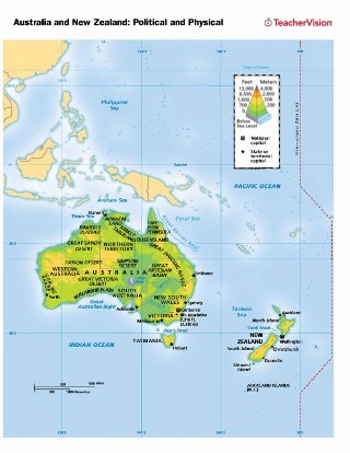
Use this printable map with your students to provide a political and physical view of Australia and New Zealand. After…
Teach your students about how maps can be used to illustrate different information. Use this map to help students…
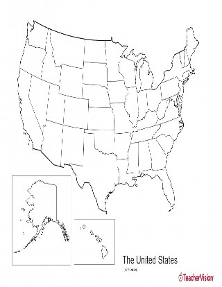
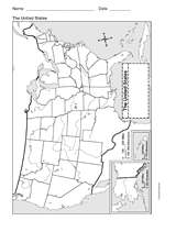
This blank map of USA with states outlined is a great printable resource to teach your students about the geography of…
EDITOR'S COLLECTIONS
With this slideshow, you'll discover great maps and geography-related activities to utilize in the classroom. All of…
Use this printable map with your students to provide a physical view of the Eastern Hemisphere. After learning about…
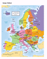
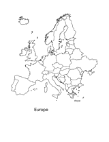
You can use this printable map to provide a political view of Europe. It will not only help your students improve their…
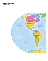
Use a printable 2-page map to provide a full color view of the world. Each continent is labeled. This map will help your…
Europe Map Printable Activity This Europe map printable is a great resource to teach your students about the…
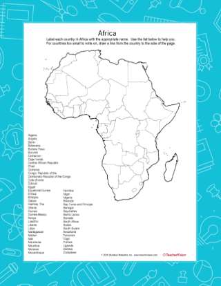
After learning about the many countries of Africa, pupils use this worksheet with students as a review. Students will…
Use a printable outline map that depicts Asia to enhance your geography or history lessons. A map scale is included,…
This printable outline of the United States of America is a great printable resource to build students geographical…
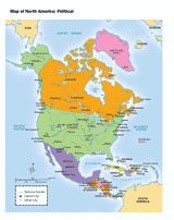
Use this printable map with your students to provide a political and physical view of North America. After learning…
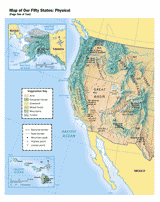
Use this printable map with your students to provide a physical view of the United States. After learning about this key…
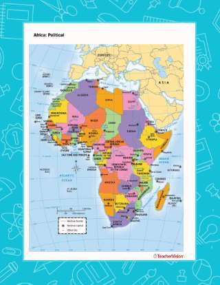
Use this printable map with your students to provide a political and physical view of Africa. After learning about this…
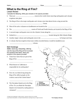
Students will use their knowledge of geography and Earth science to answer questions about the Ring of Fire in this…
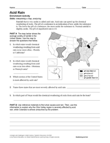
Learn about acid rain through the reading passage, U.S. mapping activity, and research questions in this Earth science…
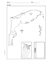
Use a printable outline map that depicts the state of Florida.
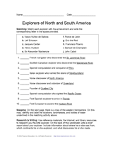
Learn about discovery and exploration in North and South America with this social studies printable. Students will match…
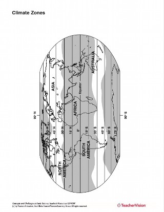
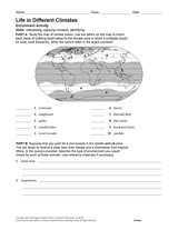
Connect Earth science and geography with this worksheet about life in climates around the world. After studying a map of…
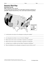
Use the map and key in this printable to evaluate the earthquake risk of different regions in the United States.
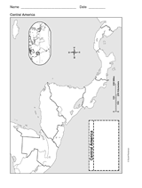
This printable outline of Central America is a great printable resource to build students geographical skills. This is…
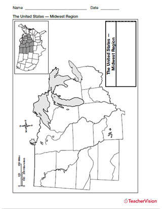
Help students build map skills with this handy printable of the Midwest Use a printable outline map with your students…
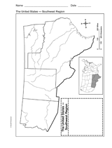
Explore the geography of Texas, Arizona, Oklahoma, and New Mexico with a printable outline map that depicts the…
Use a printable outline map that depicts the state of Michigan.