MAPS
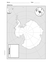
Use a printable outline map that depicts Antarctica.
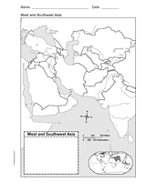
This printable outline of West and Southeast Asia is a great printable resource to build students geographical skills.…
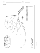
This printable outline of Alaska is a great printable resource to build students geographical skills. This is an…
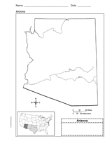
Use a printable outline map that depicts the state of Arizona.
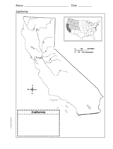
Use a printable outline map that depicts the state of California.
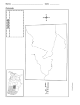
Use a printable outline map that depicts the state of Colorado.
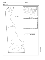
Use a printable outline map that depicts the state of Delaware.
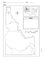
Use a printable outline map that depicts the state of Idaho.
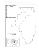
Use a printable outline map that depicts the state of Illinois.
Students construct a topographic map.
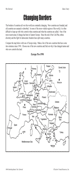
Students examine changing boundaries using a map of Europe, pre-1990.
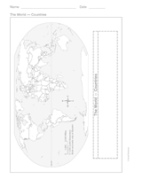
This printable outline of the world is a great printable resource to build students geographical and critical thinking…
Learn the names and locations of states in certain regions of the United States.
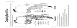
Students compare maps of Africa showing population density and climate.
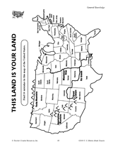
Find the errors in this map of the United States.
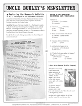
Connect geography and literature with extension activities for My Curious Uncle Dudley. This packet includes a printable…
This math printable gives students practice with graphs and maps.
CLASSROOM TOOLS
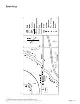
Sharpen students' map reading skills with this handout. Ask students to use the key to identify items on the town map.
This map will help students visualize time zones in the United States.
See how much your pupils know about ancient and recent history with this printable geography quiz.
Pupils learn about islands of the world by taking this printable geography quiz.
Quiz your pupils about the world's newest countries with this printable geography quiz.
Challenge your pupils' knowledge about the rivers and lakes of the world with this printable geography quiz.
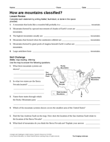
Develop Earth science and geography skills with this printable. Students will use the descriptions to classify each…