MAPS
Students re-write incorrect geographical statements.
Teach students about trade across Europe during the Middle Ages with this worksheet. Students learn about popular…
Students learn about characteristics of U.S. regions by taking this printable geography quiz.
Challenge your pupils' knowledge of the world's tallest mountain with this printable geography quiz about Mount Everest.
Test your pupils' knowledge about characteristics of the world's mountains with this printable geography quiz.
EDITOR'S COLLECTIONS
Build students' geography skills with the maps and activities in this printable book. A range of maps covers both the…
Learn about the differences between climate maps, topographic maps, and others types of maps.
A chart listing U.S. National Monuments.
A chart listing the extreme geographical points of the United States.
A chart of the highest, lowest, and mean elevations in the United States, by state.
Do you know what language is spoken in Belize? Look at this chart to find the answer to that question and what languages…
REFERENCE
An article discussing the voyages of Christopher Columbus and what he really discovered.
Zip codes and abbreviations of the United States.
Enhance your geography lessons with printable maps of the United States. The maps in this gallery depict U.S. regions,…
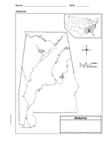
Use a printable outline map that depicts the state of Alabama.
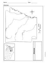
Use a printable outline map that depicts the state of Arkansas.
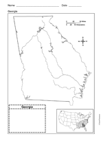
Use a printable outline map that depicts the state of Georgia.
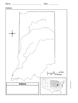
Use a printable outline map that depicts the state of Indiana.
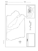
This printable outline map depicts the state of Iowa. Use this map in your next geography or social studies lesson.
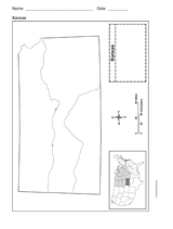
Use a printable outline map that depicts the state of Kansas.
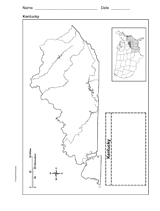
Use a printable outline map that depicts the state of Kentucky.
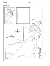
Use a printable outline map that depicts the state of Louisiana.
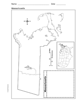
Use a printable outline map that depicts the state of Massachusetts.
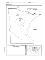
Use a printable outline map that depicts the state of Minnesota.