MAPS
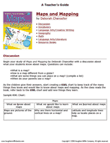
Develop students' geography and social studies skills with the activities and discussion questions in this printable…
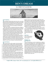
Bring geography to life with this printable teacher's guide to Ben's Dream, a children's book by Chris Van Allsburg. The…
EDITOR'S COLLECTIONS
Browse a printable teacher resource book that will stimulate your students' interest in their community and the world…
Children will research the scenery of a Hawaiian island, Kauai, with this printable.
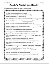
Teach children how to read maps with this printable Christmas game. This is a fun geography activity to enjoy during…
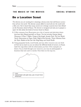
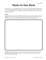
Students make a map of a neighborhood based on where rocks are being used.
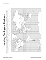
Students make a map of volcanic activity and plate tectonics around the world.
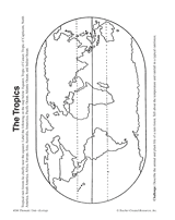
In this activity, students complete and illustrate a map showing the location of the tropics.
Students will learn about the origins of place names in the United States and examine how the names show our diversity.
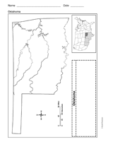
Use a printable outline map that depicts the state of Oklahoma.
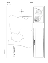
Use a printable outline map that depicts the state of Oregon.
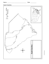
Use a printable outline map that depicts the state of South Carolina.
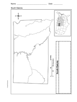
Use a printable outline map that depicts the state of South Dakota.
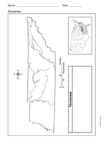
Use a printable outline map that depicts the state of Tennessee.
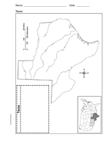
Use a printable outline map that depicts the state of Texas.
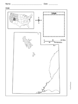
This printable outline map depicts the state of Utah. This will be a useful tool in geography and history classes.
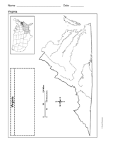
Use a printable outline map that depicts the state of Virginia.
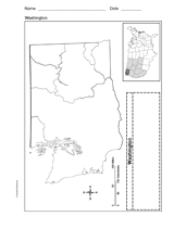
Use a printable outline map that depicts the state of Washington.
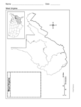
Use a printable outline map that depicts the state of West Virginia.
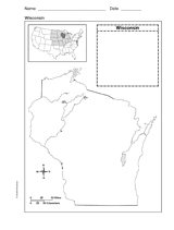
Use a printable outline map that depicts the state of Wisconsin.
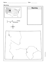
Use a printable outline map that depicts the state of Wyoming.
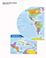
Use this printable map with your students to provide a political and physical view of the world. After learning about…
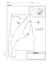
Use a printable outline map that depicts the state of Alabama.
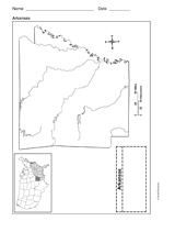
Use a printable outline map that depicts the state of Arkansas.