MAPS
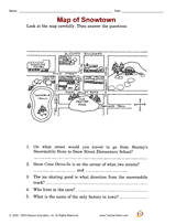
Employ a printable reading activity that helps build skills in reading a map.
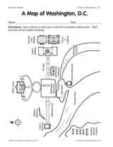
Using a map of Washington, D.C., students create a walking tour of the nation's capitol.
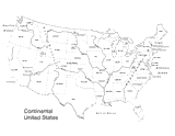
Use this U.S. map with physiography to help your students improve their geography skills. This map includes major…
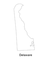
Help students understand the landform features of the state with this printable Delaware state map. Use it to support a…
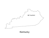
No lesson on "The Bluegrass State" would be complete without a state map of Kentucky showing the capital Frankfort. Use…
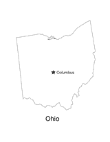
No lesson on "The Buckeye State" would be complete without a state map of Ohio showing the capital Columbus. Use this…
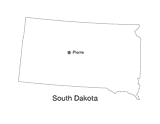
This printable black and white state map of South Dakota prominently features the capital Pierre. Students can print,…
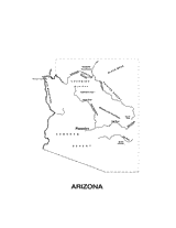
This printable black and white state map of Arizona includes all of the physiographic features for the state, and can be…
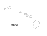
Blank outline map of Hawaii.
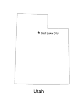
Blank outline map of Utah with state capital.
Use this printable writing activity to focus on using commas between cities/towns and states.
A chart listing U.S. National Monuments.
A chart listing the extreme geographical points of the United States.
A chart of the highest, lowest, and mean elevations in the United States, by state.
Do you know what language is spoken in Belize? Look at this chart to find the answer to that question and what languages…
Learn about the differences between climate maps, topographic maps, and others types of maps.
REFERENCE
An article discussing the voyages of Christopher Columbus and what he really discovered.
Zip codes and abbreviations of the United States.
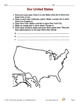
Increase social studies skills with an activity that focuses on locating cities and states on a map.
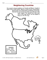
Increase social studies skills with an activity that focuses on a map of North America.
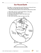
Increase social studies skills with an activity that focuses on understanding the globe.
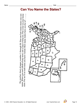
Increase social studies skills with an activity that focuses on naming and locating all of the states.
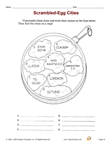
Increase social studies skills with an activity that focuses on identifying and locating major cities.
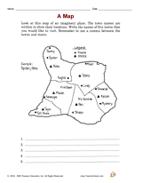
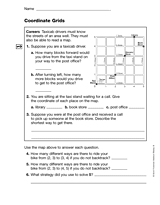
Students practice reading a grid as a map. This printable can be used as an introduction to a lesson teaching students…