MAPS
Use a printable outline map that depicts the state of New York.
Distribute a printable social studies activity to your students that helps them focus on mapping skills and following…
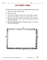
Distribute a printable social studies activity that focuses on a neighborhood map.Pupils will use the map to describe…
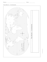
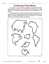
This printable outline of the continents is a great printable resource to build students geographical skills. This is an…
WORKSHEETS
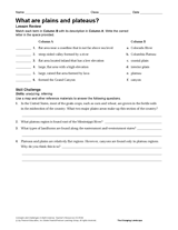
Connect geography and Earth science with the matching activity and skill challenge in this printable. Students will use…
Hold a Junior Genius Jeopardy! Game in your classroom. This printable classroom guide to Ken Jennings' Junior Genius…
Explore Down Under with your child and this map. This printable map outlines the boundaries and regions of Australia.
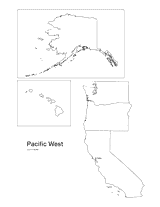
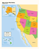
Print this outline map of the Pacific western United States.
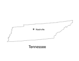
No lesson on "The Volunteer State" would be complete without a state map of Tennessee showing the capital Nashville. Use…
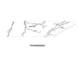
Use this Tennessee state map to help students learn about its physical geography, including borders, state capital,…
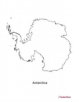
This blank map of Antartica is a great printable resource to teach your students about the geography of this country.…
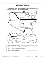
Develop student science skills with an activity that focuses on identifying/interpreting weather words.
Develop library or internet skills with this geography research activity that focuses on the knowledge of continents,…
Spark students' imagination as they learn about the architecture of the Middle Ages. The cross-curricular activities in…
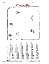
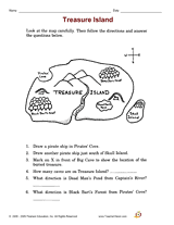
Employ a printable reading activity that helps build skills in reading maps.
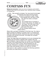
Discuss the various kinds of compasses and maps that are made. Students are then asked to respond to the reading on an…
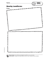
Students draw and label two landforms that are in their community.
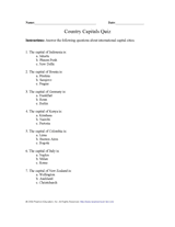
Teach pupils about capital cities of the world with this printable geography quiz.
BOOK GUIDES
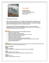
Introduce children to Japanese art and traditional storytelling as they read Tsunami!, written by Kimiko Kajikawa and…
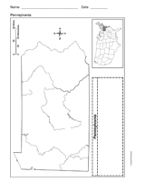
Use a printable outline map that depicts the state of Pennsylvania.
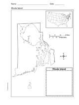
Use a printable outline map that depicts the state of Rhode Island.
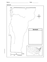
Use a printable outline map that depicts the state of Vermont.
Use this printable colorful map with your students to provide physical view of the world. After learning about this key…
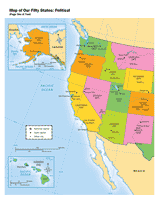
Use a printable map to provide a political view of the United States. This social studies reference shows major U.S.…