MAPS
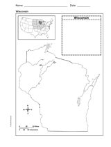
Use a printable outline map that depicts the state of Wisconsin.
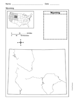
Use a printable outline map that depicts the state of Wyoming.
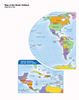
Use this printable map with your students to provide a political and physical view of the world. After learning about…
Students construct a topographic map.
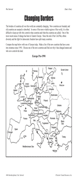
Students examine changing boundaries using a map of Europe, pre-1990.
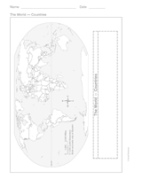
This printable outline of the world is a great printable resource to build students geographical and critical thinking…
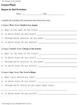
Learn the names and locations of states in certain regions of the United States.
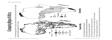
Students compare maps of Africa showing population density and climate.
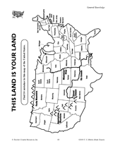
Find the errors in this map of the United States.
ACTIVITIES
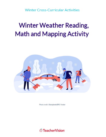
This winter themed activity packet for upper elementary or lower middle grades is perfect for helping students apply the…
Challenge children to identify which countries have changed their names with this classroom game.
Help your students get hooked on history through map activities and story-telling ideas that will make past events come…
CLASSROOM TOOLS
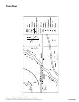
Sharpen students' map reading skills with this handout. Ask students to use the key to identify items on the town map.
This map will help students visualize time zones in the United States.
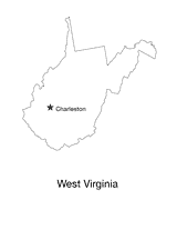
Blank outline map of West Virginia with state capital.
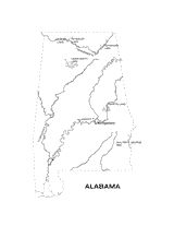
Outline map of Alabama with state physiography.
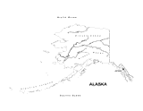
Outline map of Alaska with state physiography.
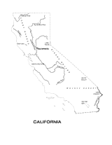
Outline map of California with state physiography.
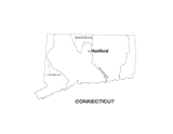
Outline map of Connecticut with state physiography.
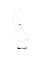
Outline map of Delaware with state physiography.
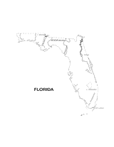
Outline map of Florida with state physiography.
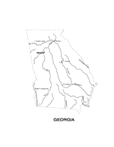
Outline map of Georgia with state physiography.
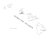
Outline map of Hawaii with state physiography.
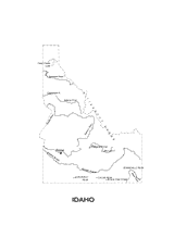
Outline map of Idaho with state physiography.