MAPS
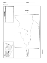
Use a printable outline map that depicts the state of Colorado.
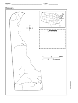
Use a printable outline map that depicts the state of Delaware.
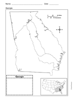
Use a printable outline map that depicts the state of Georgia.
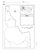
Use a printable outline map that depicts the state of Idaho.
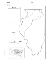
Use a printable outline map that depicts the state of Illinois.
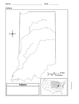
Use a printable outline map that depicts the state of Indiana.
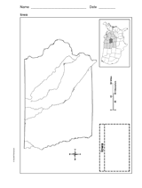
This printable outline map depicts the state of Iowa. Use this map in your next geography or social studies lesson.
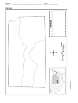
Use a printable outline map that depicts the state of Kansas.
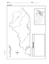
Use a printable outline map that depicts the state of Kentucky.
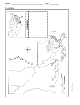
Use a printable outline map that depicts the state of Louisiana.
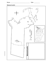
Use a printable outline map that depicts the state of Massachusetts.
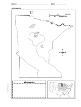
Use a printable outline map that depicts the state of Minnesota.
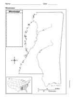
Use a printable outline map that depicts the state of Mississippi.
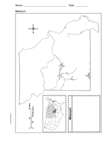
Use a printable outline map that depicts the state of Missouri.
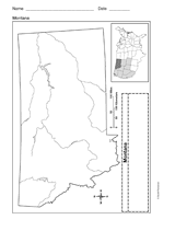
Use a printable outline map that depicts the state of Montana.
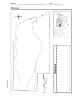
Use a printable outline map that depicts the state of Nebraska.
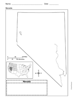
Use a printable outline map that depicts the state of Nevada.
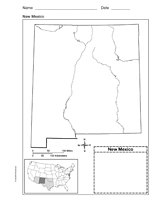
Use a printable outline map that depicts the state of New Mexico.
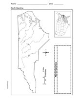
Use a printable outline map that depicts the state of North Carolina.
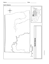
Use a printable outline map that depicts the state of North Dakota.
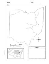
Use this printable outline map that depicts the state of Ohio in your next geography or social studies lesson.
Students construct a topographic map.
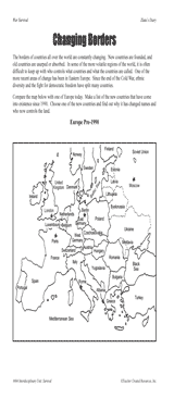
Students examine changing boundaries using a map of Europe, pre-1990.
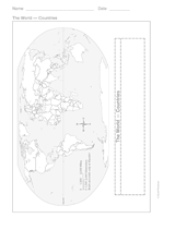
This printable outline of the world is a great printable resource to build students geographical and critical thinking…