MAPS
Learn about the differences between climate maps, topographic maps, and others types of maps.
A chart listing U.S. National Parks.
Do you know what language is spoken in Belize? Look at this chart to find the answer to that question and what languages…
Zip codes and abbreviations of the United States.
Enhance social studies units with the geography transparencies and visuals in this slideshow. Printable maps on…
ACTIVITIES
Students are asked to identify the location of cities on a map and determine the distances between them. Assesses their…
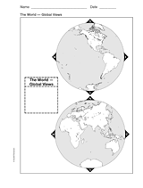
This printable world map provides two global viewpoints.
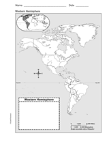
Use this with your students to Improve their geography skills with a printable outline map that depicts the Western…
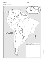
Use a printable outline map that depicts South America.
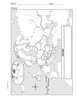
Enhance geography and history lessons with a printable outline map that depicts Europe.
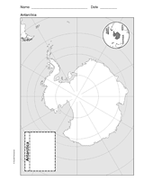
Use a printable outline map that depicts Antarctica.
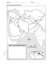
This printable outline of West and Southeast Asia is a great printable resource to build students geographical skills.…
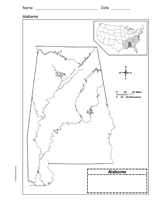
Use a printable outline map that depicts the state of Alabama.
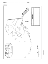
This printable outline of Alaska is a great printable resource to build students geographical skills. This is an…
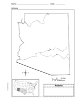
Use a printable outline map that depicts the state of Arizona.
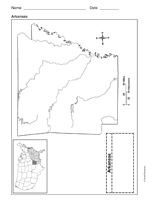
Use a printable outline map that depicts the state of Arkansas.
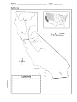
Use a printable outline map that depicts the state of California.
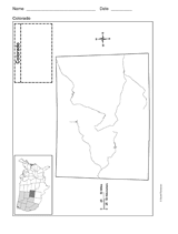
Use a printable outline map that depicts the state of Colorado.
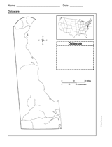
Use a printable outline map that depicts the state of Delaware.
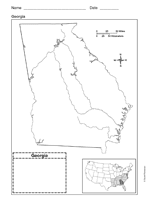
Use a printable outline map that depicts the state of Georgia.
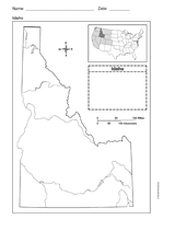
Use a printable outline map that depicts the state of Idaho.
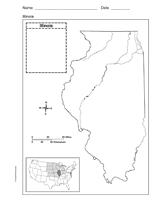
Use a printable outline map that depicts the state of Illinois.
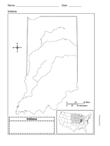
Use a printable outline map that depicts the state of Indiana.
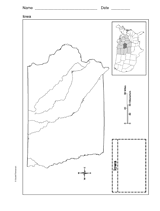
This printable outline map depicts the state of Iowa. Use this map in your next geography or social studies lesson.