MAPS
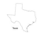
Print out a blank outline map of Texas to help your students learn more about the Lonestar State. This can be used with…
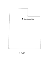
Blank outline map of Utah with state capital.
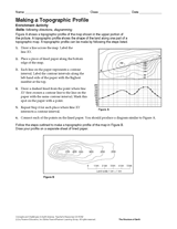
Follow the steps in this Earth science printable to make a topographic profile of a map.
Gauge students' knowledge and understanding of maps and Earth's structure with this printable exam. In the first…
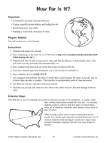
Hand out a printable computer activity that reinforces students' basic map skills, as they use the Internet to find the…
Enhance students' reading experience of Tolkien's The Hobbit with lesson planning resources that accompany chapters…
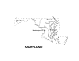
Use this Maryland state map to help students learn about its physical geography, including borders, state capital,…
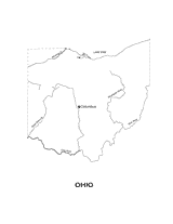
Outline map of Ohio with state physiography.
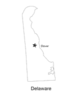
This printable black and white state map of Delaware includes the location of the capital city. Students can print,…
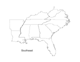
This printable map of the Southeastern United States can be colored and labeled as part of a quiz, test, or project.…
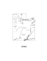
This printable black and white state map of Utah includes all of the physiographic features for the state, and can be…
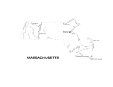
This printable black and white state map of Massachusetts includes all of the physiographic features for the state, and…
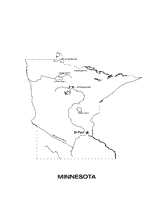
Use this Minnesota state map to help students learn about its physical geography, including borders, state capital,…
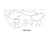
Use this Montana state map to help students learn about its physical geography, including borders, state capital,…
Test your pupils' knowledge of the seven continents with this printable geography quiz.
Compare the functions of a map and a globe with this printable. Students must determine which geography resource would…
In this geography printable, students identify the objects needed to make a map projection and classify each projection…
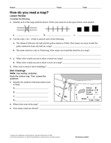
Challenge students to identify map symbols and use a scale to calculate distance. In this social studies printable,…
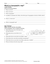
In this social studies printable, students will answer questions about topographic maps and practice map reading.
Review map symbols with this social studies printable. Students will use an atlas or other reference materials to…
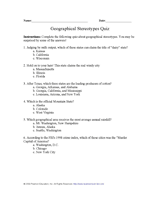
Students learn about characteristics of U.S. regions by taking this printable geography quiz.
Pupils learn about islands of the world by taking this printable geography quiz.
EDITOR'S COLLECTIONS
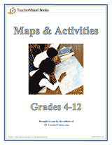
Build students' geography skills with the maps and activities in this printable book. A range of maps covers both the…
Learn about the Geography Hall of Fame with information on the world's largest continent, longest lagoon, and more!