MAPS
Use this printable colorful map with your students to provide physical view of the world. After learning about this key…
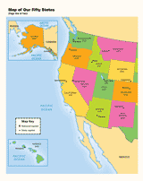
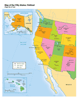
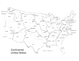
Use a printable map to provide a political view of the United States. This social studies reference shows major U.S.…
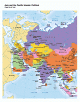
Use this printable map with your students to provide a political and physical view of Asia and the Pacific Islands.…
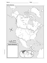
Help your students improve their geography skills with a printable outline map that depicts North America.
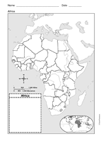
This printable outline map of Africa is a great printable resource to build students geographical skills. This is an…
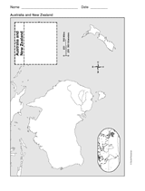
This printable outline of New Zealand and Australia is a great printable resource to build students geographical skills.…
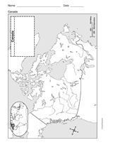
Study geography with a printable outline map that depicts Canada.
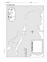
This printable outline of West Indies is a great printable resource to build students geographical skills. This is an…
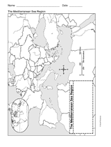
This printable outline of Mediterranean Sea Region is a great printable resource to build students geographical skills.…
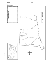
Use a printable outline map that depicts the state of Connecticut.
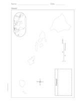
Use a printable outline map that depicts the state of Hawaii.
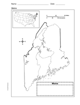
Use a printable outline map that depicts the state of Maine.
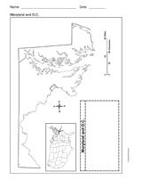
Use a printable outline map that depicts the state of Maryland and the District of Columbia.
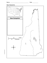
Use a printable outline map that depicts the state of New Hampshire.
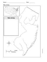
Use a printable outline map that depicts the state of New Jersey.
CLASSROOM TOOLS
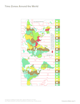
Use this printable map with your students to compare time differences and visualize the boundaries of time zones around…
Use this U.S. map with physiography to help your students improve their geography skills. This map includes major…
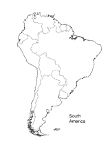
Print this outline map of South America.
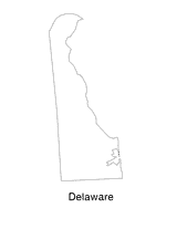
Help students understand the landform features of the state with this printable Delaware state map. Use it to support a…
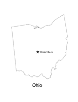
No lesson on "The Buckeye State" would be complete without a state map of Ohio showing the capital Columbus. Use this…
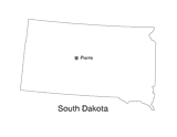
This printable black and white state map of South Dakota prominently features the capital Pierre. Students can print,…
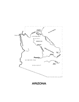
This printable black and white state map of Arizona includes all of the physiographic features for the state, and can be…
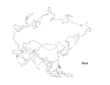
This activity is a great way to teach children about Asia, the largest of the world's continents. Students can use this…
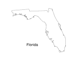
Print out a blank outline map of Florida to help your students learn more about the Sunshine State. This can be used…