MAPS
Give students practice with maps as they study the structure of the Earth. In this printable, students will analyze a…
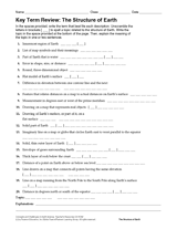
Review Earth's structure and the meaning of map symbols with this vocabulary printable and word puzzle.
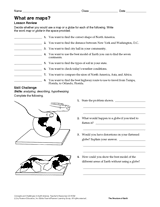
Compare the functions of a map and a globe with this printable. Students must determine which geography resource would…
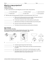
In this geography printable, students identify the objects needed to make a map projection and classify each projection…
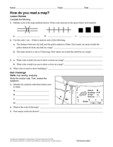
Challenge students to identify map symbols and use a scale to calculate distance. In this social studies printable,…
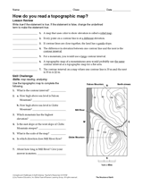
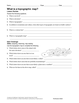
In this social studies printable, students will answer questions about topographic maps and practice map reading.
Review map symbols with this social studies printable. Students will use an atlas or other reference materials to…
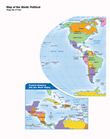
Use this printable map with your students to provide a political and physical view of the world. After learning about…
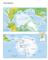
This printable colored map of the Arctic and Antartica is a great printable resource to build students geographical…
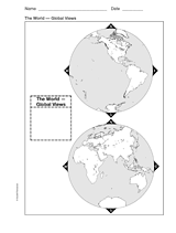
This printable world map provides two global viewpoints.
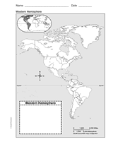
Use this with your students to Improve their geography skills with a printable outline map that depicts the Western…
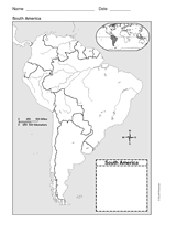
Use a printable outline map that depicts South America.
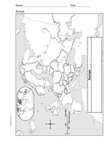
Enhance geography and history lessons with a printable outline map that depicts Europe.
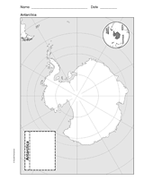
Use a printable outline map that depicts Antarctica.
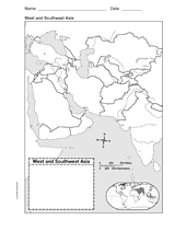
This printable outline of West and Southeast Asia is a great printable resource to build students geographical skills.…
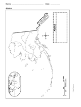
This printable outline of Alaska is a great printable resource to build students geographical skills. This is an…
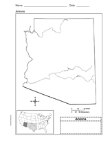
Use a printable outline map that depicts the state of Arizona.
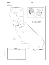
Use a printable outline map that depicts the state of California.
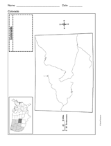
Use a printable outline map that depicts the state of Colorado.
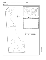
Use a printable outline map that depicts the state of Delaware.
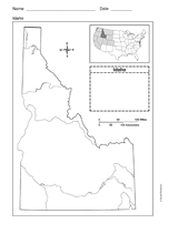
Use a printable outline map that depicts the state of Idaho.
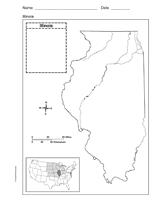
Use a printable outline map that depicts the state of Illinois.
Students construct a topographic map.
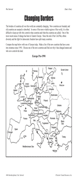
Students examine changing boundaries using a map of Europe, pre-1990.