MAPS
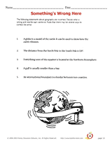
Students re-write incorrect geographical statements.
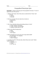
Students learn about characteristics of U.S. regions by taking this printable geography quiz.
EDITOR'S COLLECTIONS
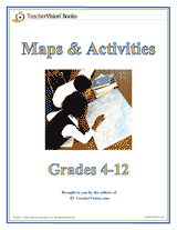
Build students' geography skills with the maps and activities in this printable book. A range of maps covers both the…
Learn about the differences between climate maps, topographic maps, and others types of maps.
Do you know what language is spoken in Belize? Look at this chart to find the answer to that question and what languages…
Zip codes and abbreviations of the United States.
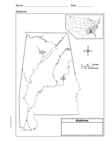
Use a printable outline map that depicts the state of Alabama.
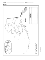
This printable outline of Alaska is a great printable resource to build students geographical skills. This is an…
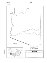
Use a printable outline map that depicts the state of Arizona.
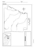
Use a printable outline map that depicts the state of Arkansas.
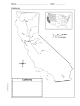
Use a printable outline map that depicts the state of California.
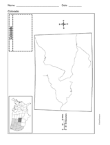
Use a printable outline map that depicts the state of Colorado.
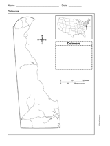
Use a printable outline map that depicts the state of Delaware.
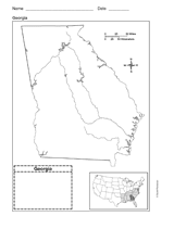
Use a printable outline map that depicts the state of Georgia.
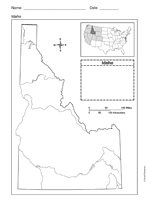
Use a printable outline map that depicts the state of Idaho.
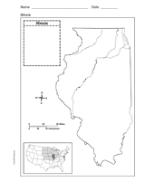
Use a printable outline map that depicts the state of Illinois.
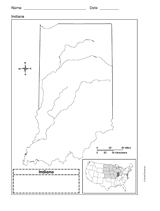
Use a printable outline map that depicts the state of Indiana.
This printable outline map depicts the state of Iowa. Use this map in your next geography or social studies lesson.
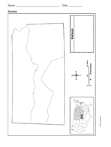
Use a printable outline map that depicts the state of Kansas.
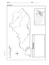
Use a printable outline map that depicts the state of Kentucky.
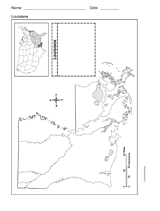
Use a printable outline map that depicts the state of Louisiana.
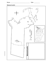
Use a printable outline map that depicts the state of Massachusetts.
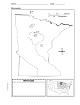
Use a printable outline map that depicts the state of Minnesota.
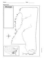
Use a printable outline map that depicts the state of Mississippi.