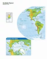
Use this printable map with your students to provide a physical view of the world. After learning about all the key countries, you can use this worksheet with students as a review. Students will fill in this blank, printable map with the names of each country and construct the different geographical features on the map. Grades 3-12 would benefit most from this activity.

Scott Foresman, an imprint of Pearson
Provided by Scott Foresman, an imprint of Pearson, the world's leading elementary educational publisher. Its line of educational resources supports teachers and helps schools and districts meet demands for adequate yearly progress and reporting.