MAPS
Here you'll find printable maps of the world, each of the continents, regions of the world, and more.
WORKSHEETS
Browse through a selection of printable maps of the U.S. states, U.S. regions, continents, and more. Plus, use our…
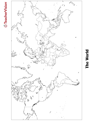
Blank world map worksheet with countries - outline, non-labeled template with borders - print or download. Blank World…
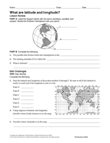
Give your students practice with geographic coordinates in this activity . In this printable worksheet, students will…
Use this chart to plan the Pilgrim Study Unit (objectives and materials) of six lessons. Students will learn all about…
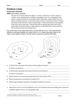
Develop students' map reading skills with this Earth science worksheet. After reading a paragraph about contour lines,…
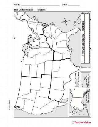
Study U.S. geography with this printable map of U.S. Regions. This will help you teach your students about the different…
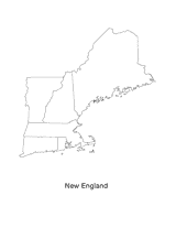
This blank map of the New England area with the states outlined is a great printable resource to teach your students…
EDITOR'S COLLECTIONS
Explore the world through printable maps depicting continents, countries, capitals, climate zones, oceans, landforms,…
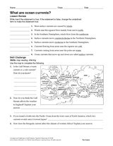
Give students practice reading a map with the skill challenge in this oceanography printable. Students will evaluate…
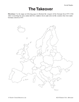
Use these maps to illustrate the German takeover of Europe from 1933-44.
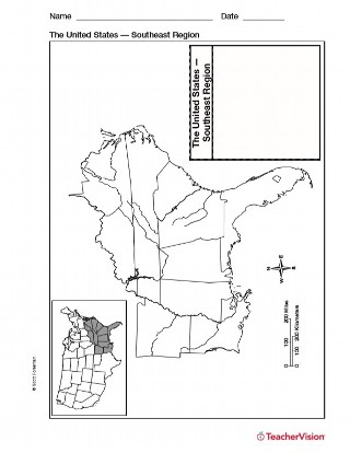
Use a printable outline map with your students that depicts the southeast region of the United States to enhance their…