MAPS
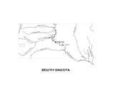
Outline map of South Dakota with state physiography.
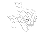
Outline map of Texas with state physiography.
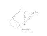
Outline map of West Virginia with state physiography.
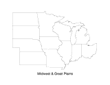
Print this outline map of the Midwestern United States.
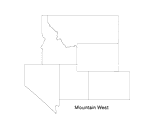
Print this outline map of the mountain west area of the United States.
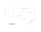
Print this outline map of the Southwestern United States.
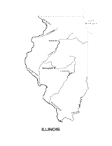
Use this outline map of Illinois with state physiography when teaching geography.
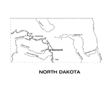
Use this outline map of North Dakota with state physiography when teaching geography.
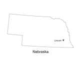
Use this outline map of Nebraska with the state capital when teaching geography.
Use a map key to make comparisons of state sizes.
WORKSHEETS
Students practice collecting data, organizing it into charts, and using the charts to plan an event.
Interpreting and creating pictographs based on census data is explored in this lesson.
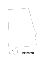
Blank outline map of Alabama.
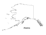
Blank outline map of Alaska.
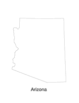
Blank outline map of Arizona.
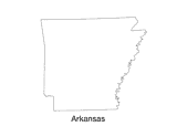
Blank outline map of Arkansas.
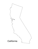
Blank outline map of California.
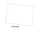
Blank outline map of Colorado.
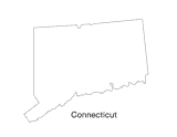
Blank outline map of Connecticut.
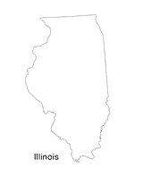
Blank outline map of Illinois.
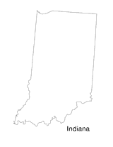
Blank outline map Indiana.
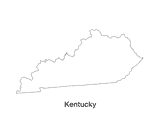
Blank outline map of Kentucky.
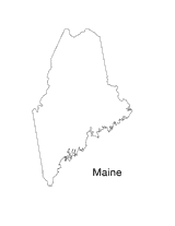
Blank outline map of Maine.
Blank outline map of Maryland.