MAPS
Develop students' math and social studies skills will literature-based activities for A World of Wonders: Geographic…
Test your pupils' knowledge of the seven continents with this printable geography quiz.
Expand pupils' knowledge of the countries of the world by giving them this printable quiz.
Pupils learn about important explorers and their discoveries by taking this printable geography quiz.
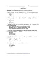
Introduce pupils to the national flags of other countries with this printable geography quiz.
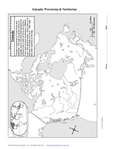
With the map provided, students will draw the boundaries of Canada's provinces and territories. Then, they will label…
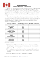
Students research the date when each Canadian province and territory became part of the nation. Then, they research…
Research the history and geography of Upper Canada and Lower Canada to answer the questions in this worksheet. Students…
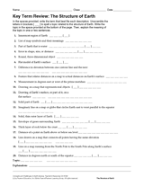
Give students practice with maps as they study the structure of the Earth. In this printable, students will analyze a…
Review Earth's structure and the meaning of map symbols with this vocabulary printable and word puzzle.
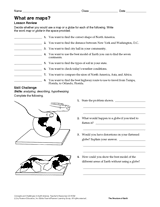
Compare the functions of a map and a globe with this printable. Students must determine which geography resource would…
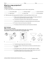
In this geography printable, students identify the objects needed to make a map projection and classify each projection…
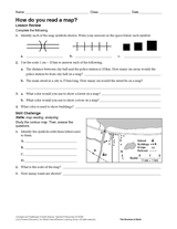
Challenge students to identify map symbols and use a scale to calculate distance. In this social studies printable,…
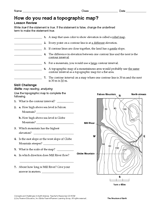
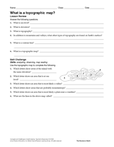
In this social studies printable, students will answer questions about topographic maps and practice map reading.
Review map symbols with this social studies printable. Students will use an atlas or other reference materials to…
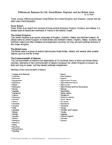
Use this printable to review the key differences between Great Britain, the United Kingdom, and England—names that are…
Study the cause, location, and date of five famous shipwrecks in transportation history. Children will match each…
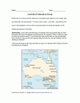
Students will review Australia's colonies before they became part of an independent nation, and think about other ways…
Students will learn about the origins of place names in the United States and examine how the names show our diversity.
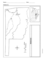
Use a printable outline map that depicts the state of Oklahoma.
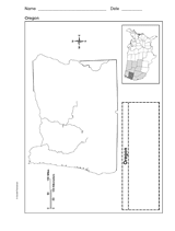
Use a printable outline map that depicts the state of Oregon.
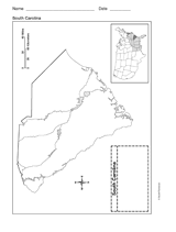
Use a printable outline map that depicts the state of South Carolina.
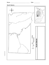
Use a printable outline map that depicts the state of South Dakota.
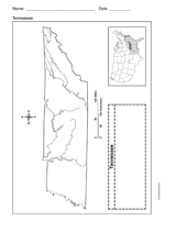
Use a printable outline map that depicts the state of Tennessee.