MAPS
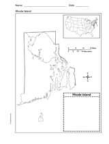
Use a printable outline map that depicts the state of Rhode Island.
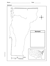
Use a printable outline map that depicts the state of Vermont.
Use this printable colorful map with your students to provide physical view of the world. After learning about this key…
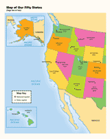
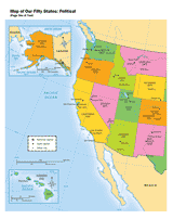
Use a printable map to provide a political view of the United States. This social studies reference shows major U.S.…
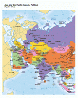
Use this printable map with your students to provide a political and physical view of Asia and the Pacific Islands.…
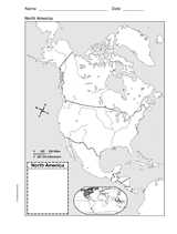
Help your students improve their geography skills with a printable outline map that depicts North America.
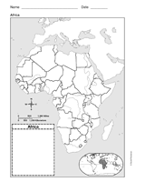
This printable outline map of Africa is a great printable resource to build students geographical skills. This is an…
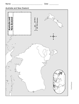
This printable outline of New Zealand and Australia is a great printable resource to build students geographical skills.…
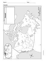
Study geography with a printable outline map that depicts Canada.
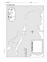
This printable outline of West Indies is a great printable resource to build students geographical skills. This is an…
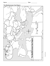
This printable outline of Mediterranean Sea Region is a great printable resource to build students geographical skills.…
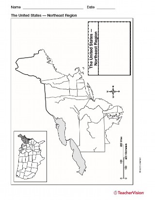
Use this resource to help students study the northeast region of the United States with this printable outline map. This…
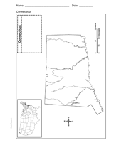
Use a printable outline map that depicts the state of Connecticut.
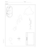
Use a printable outline map that depicts the state of Hawaii.
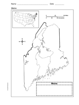
Use a printable outline map that depicts the state of Maine.
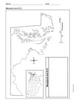
Use a printable outline map that depicts the state of Maryland and the District of Columbia.
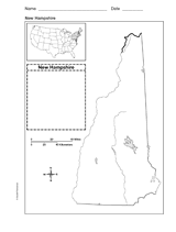
Use a printable outline map that depicts the state of New Hampshire.
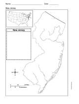
Use a printable outline map that depicts the state of New Jersey.
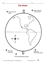
Distribute a printable social studies activity to your students that focuses on studying the globe and build their map…
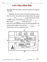
Distribute a printable social studies activity that focuses on following map directions.
Use this printable reference sheet to help students understand map features.
Employ a printable reading activity that helps build skills in reading a map.
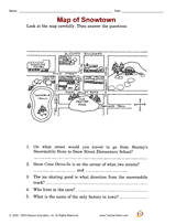
Interpret symbols and cardinal directions to locate places on the Classroom Map.
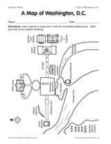
Using a map of Washington, D.C., students create a walking tour of the nation's capitol.