MAPS
Students construct a topographic map.
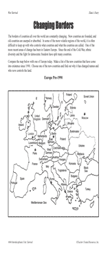
Students examine changing boundaries using a map of Europe, pre-1990.
GAMES AND APPS
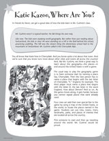
Play a geography game with your class while reading the Katie Kazoo, Switcheroo books.
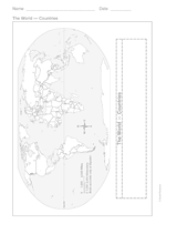
This printable outline of the world is a great printable resource to build students geographical and critical thinking…
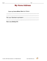
Distribute a printable social studies activity that focuses on home address.
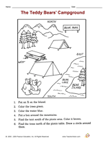
Distribute a printable social studies activity that focuses on identifying map symbols and understanding directions.
Interpret symbols and cardinal directions to locate places on the School Map.
Use this lesson with your students to help them Interpret symbols and cardinal directions to locate places on the…
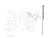
Use a printable map of the United States with a distance key to help your students improve their geography and math…
Long ago, the Earth's continents were all part of the same land mass.
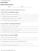
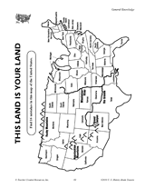
Learn the names and locations of states in certain regions of the United States.
Students create a map that fits the events of a story.
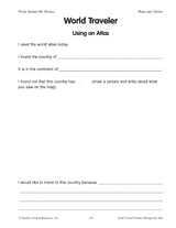
By using an atlas, students present information on a country.
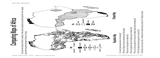
Students compare maps of Africa showing population density and climate.
Find the errors in this map of the United States.
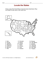
Try a library-skills activity that focuses on locating states on a map.
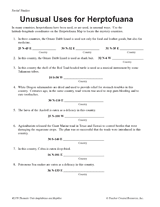
Students learn about latitude-longitude coordinates, while also learning interesting facts about the reptiles and…
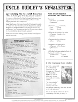
Connect geography and literature with extension activities for My Curious Uncle Dudley. This packet includes a printable…
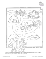
Practice Spanish reading comprehension with this Dora the Explorer mapping activity for young children. You can also use…
This math printable gives students practice with graphs and maps.
CLASSROOM TOOLS
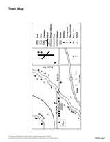
Sharpen students' map reading skills with this handout. Ask students to use the key to identify items on the town map.
This map will help students visualize time zones in the United States.
Students learn about characteristics of U.S. regions by taking this printable geography quiz.