MAPS
Review map symbols with this social studies printable. Students will use an atlas or other reference materials to…
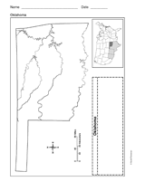
Use a printable outline map that depicts the state of Oklahoma.
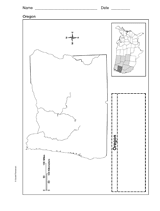
Use a printable outline map that depicts the state of Oregon.
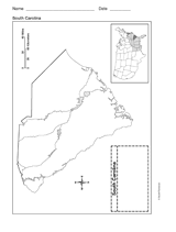
Use a printable outline map that depicts the state of South Carolina.
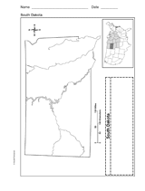
Use a printable outline map that depicts the state of South Dakota.
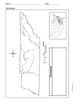
Use a printable outline map that depicts the state of Tennessee.
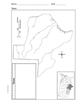
Use a printable outline map that depicts the state of Texas.
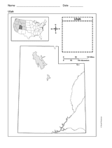
This printable outline map depicts the state of Utah. This will be a useful tool in geography and history classes.
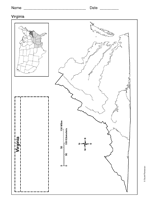
Use a printable outline map that depicts the state of Virginia.
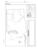
Use a printable outline map that depicts the state of Washington.
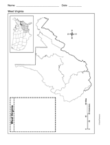
Use a printable outline map that depicts the state of West Virginia.
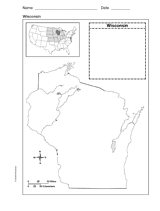
Use a printable outline map that depicts the state of Wisconsin.
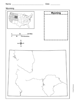
Use a printable outline map that depicts the state of Wyoming.
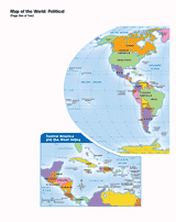
Use this printable map with your students to provide a political and physical view of the world. After learning about…
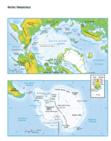
This printable colored map of the Arctic and Antartica is a great printable resource to build students geographical…
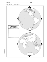
This printable world map provides two global viewpoints.
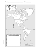
Use this with your students to Improve their geography skills with a printable outline map that depicts the Western…
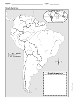
Use a printable outline map that depicts South America.
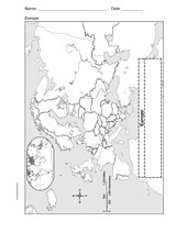
Enhance geography and history lessons with a printable outline map that depicts Europe.
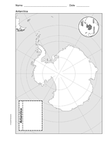
Use a printable outline map that depicts Antarctica.
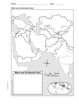
This printable outline of West and Southeast Asia is a great printable resource to build students geographical skills.…
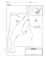
Use a printable outline map that depicts the state of Alabama.
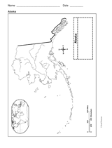
This printable outline of Alaska is a great printable resource to build students geographical skills. This is an…
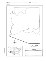
Use a printable outline map that depicts the state of Arizona.