MAPS
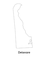
Help students understand the landform features of the state with this printable Delaware state map. Use it to support a…
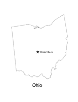
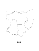
No lesson on "The Buckeye State" would be complete without a state map of Ohio showing the capital Columbus. Use this…
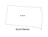
This printable black and white state map of South Dakota prominently features the capital Pierre. Students can print,…
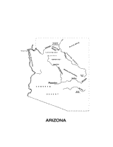
This printable black and white state map of Arizona includes all of the physiographic features for the state, and can be…
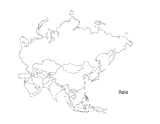
This activity is a great way to teach children about Asia, the largest of the world's continents. Students can use this…
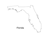
Print out a blank outline map of Florida to help your students learn more about the Sunshine State. This can be used…
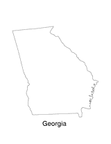
Print out a blank outline map of Georgia to help your students learn more about the this state. This can be used with…
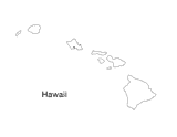
Blank outline map of Hawaii.
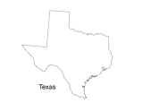
Print out a blank outline map of Texas to help your students learn more about the Lonestar State. This can be used with…
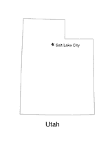
Blank outline map of Utah with state capital.
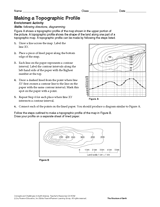
Follow the steps in this Earth science printable to make a topographic profile of a map.
Gauge students' knowledge and understanding of maps and Earth's structure with this printable exam. In the first…
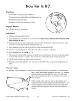
Hand out a printable computer activity that reinforces students' basic map skills, as they use the Internet to find the…
Students practice writing and word processing a letter to be used in The Great Mail Race.
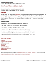
Enhance students' reading experience of Tolkien's The Hobbit with lesson planning resources that accompany chapters…
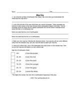
Use this worksheet to help students read map keys.
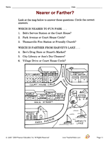
Increase social studies skills with an activity that focuses on map reading and directions.
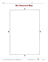
Increase social studies skills with an activity that focuses on compass directions.
Increase social studies skills with an activity that focuses on using information from a map to determine distance.
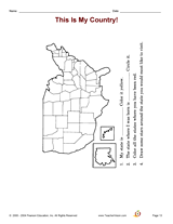
Increase social studies skills with an activity that focuses on recognizing the U.S. and locating the states.
Increase social studies skills with an activity that focuses on relating to one's own environment.
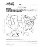
Using a map of the United States, children will identify the states with cold winters.
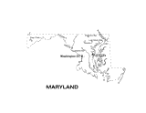
Use this Maryland state map to help students learn about its physical geography, including borders, state capital,…
Outline map of Ohio with state physiography.