MAPS
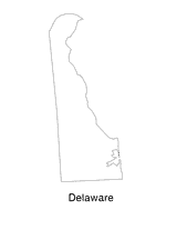
Help students understand the landform features of the state with this printable Delaware state map. Use it to support a…
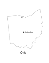
No lesson on "The Buckeye State" would be complete without a state map of Ohio showing the capital Columbus. Use this…
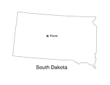
This printable black and white state map of South Dakota prominently features the capital Pierre. Students can print,…
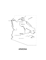
This printable black and white state map of Arizona includes all of the physiographic features for the state, and can be…
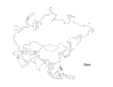
This activity is a great way to teach children about Asia, the largest of the world's continents. Students can use this…
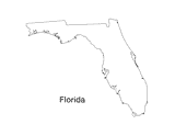
Print out a blank outline map of Florida to help your students learn more about the Sunshine State. This can be used…
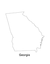
Print out a blank outline map of Georgia to help your students learn more about the this state. This can be used with…
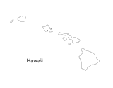
Blank outline map of Hawaii.
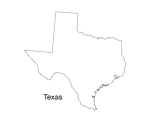
Print out a blank outline map of Texas to help your students learn more about the Lonestar State. This can be used with…
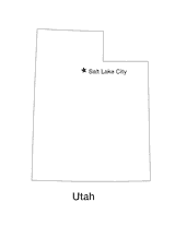
Blank outline map of Utah with state capital.
Use this printable writing activity to focus on using commas between cities/towns and states.
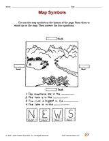
Distribute these a printable social studies activity to your students that focuses on identifying map symbols, so as…
Students practice writing and word processing a letter to be used in The Great Mail Race.
Enhance students' reading experience of Tolkien's The Hobbit with lesson planning resources that accompany chapters…
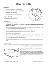
Hand out a printable computer activity that reinforces students' basic map skills, as they use the Internet to find the…
A chart listing U.S. National Parks.
Do you know what language is spoken in Belize? Look at this chart to find the answer to that question and what languages…
Learn about the Geography Hall of Fame with information on the world's largest continent, longest lagoon, and more!
Learn about the differences between climate maps, topographic maps, and others types of maps.
Enhance social studies units with the geography transparencies and visuals in this slideshow. Printable maps on…
ACTIVITIES
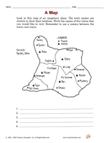
Students are asked to identify the location of cities on a map and determine the distances between them. Assesses their…
Zip codes and abbreviations of the United States.
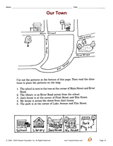
Increase social studies skills with an activity that focuses on making a neighborhood map.
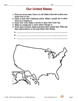
Increase social studies skills with an activity that focuses on locating cities and states on a map.