MAPS
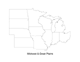
Print this outline map of the Midwestern United States.
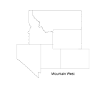
Print this outline map of the mountain west area of the United States.
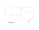
Print this outline map of the Southwestern United States.
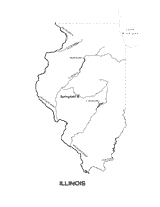
Use this outline map of Illinois with state physiography when teaching geography.
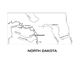
Use this outline map of North Dakota with state physiography when teaching geography.
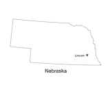
Use this outline map of Nebraska with the state capital when teaching geography.
Use a map key to make comparisons of state sizes.
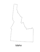
This printable blank state map of Idaho is perfect for labeling, coloring, and practicing map skills. Use it as a…
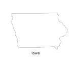
Use this blank map of “The Haweye State” to give your students a template for exploring Iowa. Students can add details…
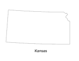
This state map of Kansas can be colored and labeled as part of a quiz, test, or project. The blank black and white…
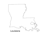
This state map of Louisiana can be colored and labeled as part of a quiz, test, or project. The blank black and white…
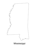
Use this blank map of “The Magnolia State” to give your students a template for exploring Mississippi. Students can add…
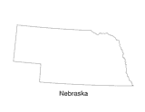
This state map of Nebraska can be colored and labeled as part of a quiz, test, or project. The blank black and white…
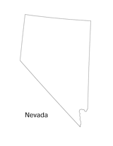
This state map of Nevada can be colored and labeled as part of a quiz, test, or project. The blank black and white…
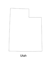
This printable blank state map of Utah is perfect for labeling, coloring, and practicing map skills. Use it as a…
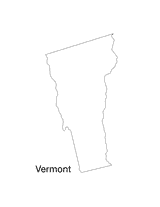
Use this blank map of “The Green Mountain State” to give your students a template for exploring Vermont. Students can…
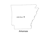
Use this Arkansas state map to help students identify and learn about Little Rock, the capital of "The Natural State."…
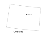
Use this Colorado state map to help students learn about its physical geography, including borders, state capital, and…
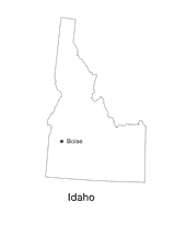
Use this Idaho state map to help students identify and learn about the Boise, the capital of "The Gem State." This…
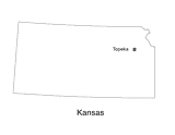
Use this Kansas state map to help students identify and learn about Topeka, the capital of "The Sunflower State." This…
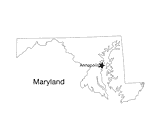
This printable black and white state map of Maryland prominently features the capital Annapolis. Students can print,…
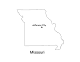
This printable black and white state map of Missouri prominently features the capital Jefferson City. Students can…
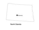
This printable black and white state map of North Dakota prominently features the capital Bismarck. Students can print,…
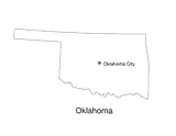
Use this Oklahoma state map to help students identify and learn about Oklahoma City, the capital of "The Sooner State."…