MAPS
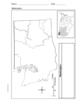
Use a printable outline map that depicts the state of Washington.
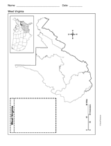
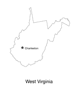
Use a printable outline map that depicts the state of West Virginia.
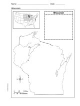
Use a printable outline map that depicts the state of Wisconsin.
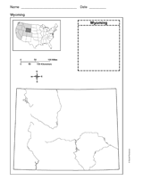
Use a printable outline map that depicts the state of Wyoming.
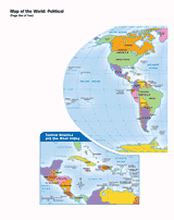
Use this printable map with your students to provide a political and physical view of the world. After learning about…
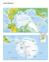
This printable colored map of the Arctic and Antartica is a great printable resource to build students geographical…
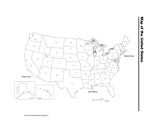
Use a printable map of the United States with a distance key to help your students improve their geography and math…
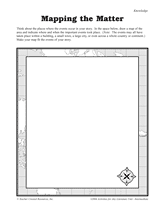
Students construct a topographic map.
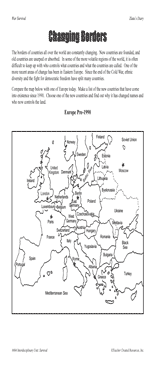
Students examine changing boundaries using a map of Europe, pre-1990.
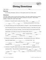
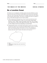
Your students will work on providing clear and coherent directions in this activity. The aim is for students to Fill in…
Long ago, the Earth's continents were all part of the same land mass.
Students create a map that fits the events of a story.
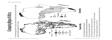
Students compare maps of Africa showing population density and climate.
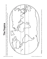
In this activity, students complete and illustrate a map showing the location of the tropics.
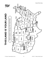
Find the errors in this map of the United States.
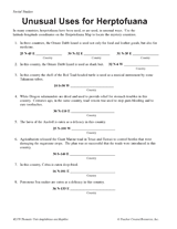
Students learn about latitude-longitude coordinates, while also learning interesting facts about the reptiles and…
Children will research the scenery of a Hawaiian island, Kauai, with this printable.
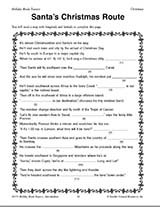
Teach children how to read maps with this printable Christmas game. This is a fun geography activity to enjoy during…
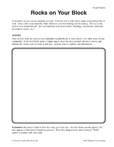
Students make a map of a neighborhood based on where rocks are being used.
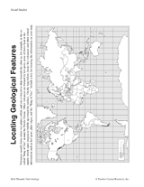
Students make a map of volcanic activity and plate tectonics around the world.
Help your students get hooked on history through map activities and story-telling ideas that will make past events come…
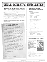
Connect geography and literature with extension activities for My Curious Uncle Dudley. This packet includes a printable…
Blank outline map of West Virginia with state capital.
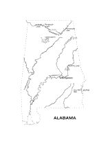
Outline map of Alabama with state physiography.