MAPS
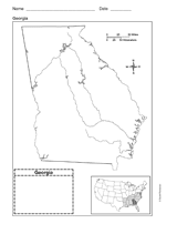
Use a printable outline map that depicts the state of Georgia.
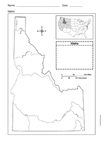
Use a printable outline map that depicts the state of Idaho.
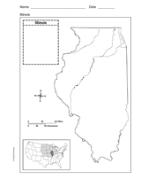
Use a printable outline map that depicts the state of Illinois.
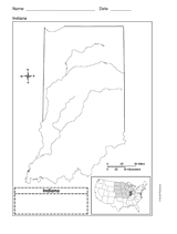
Use a printable outline map that depicts the state of Indiana.
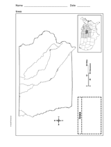
This printable outline map depicts the state of Iowa. Use this map in your next geography or social studies lesson.
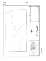
Use a printable outline map that depicts the state of Kansas.
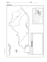
Use a printable outline map that depicts the state of Kentucky.
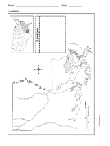
Use a printable outline map that depicts the state of Louisiana.
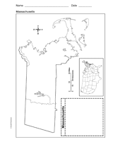
Use a printable outline map that depicts the state of Massachusetts.
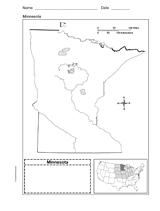
Use a printable outline map that depicts the state of Minnesota.
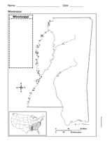
Use a printable outline map that depicts the state of Mississippi.
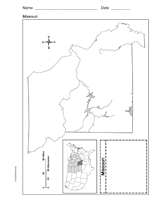
Use a printable outline map that depicts the state of Missouri.
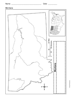
Use a printable outline map that depicts the state of Montana.
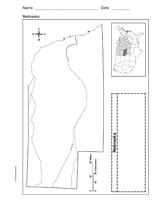
Use a printable outline map that depicts the state of Nebraska.
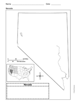
Use a printable outline map that depicts the state of Nevada.
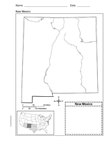
Use a printable outline map that depicts the state of New Mexico.
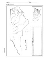
Use a printable outline map that depicts the state of North Carolina.
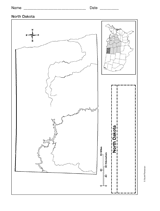
Use a printable outline map that depicts the state of North Dakota.
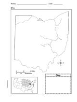
Use this printable outline map that depicts the state of Ohio in your next geography or social studies lesson.
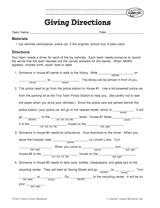
Your students will work on providing clear and coherent directions in this activity. The aim is for students to Fill in…
Students construct a topographic map.
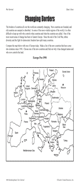
Students examine changing boundaries using a map of Europe, pre-1990.
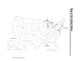
Use a printable map of the United States with a distance key to help your students improve their geography and math…
Long ago, the Earth's continents were all part of the same land mass.