MAPS
Students research the date when each Canadian province and territory became part of the nation. Then, they research…
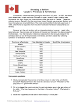
Research the history and geography of Upper Canada and Lower Canada to answer the questions in this worksheet. Students…
Students will learn about the origins of place names in the United States and examine how the names show our diversity.
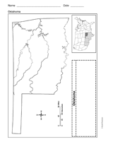
Use a printable outline map that depicts the state of Oklahoma.
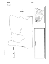
Use a printable outline map that depicts the state of Oregon.
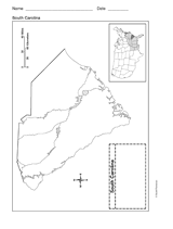
Use a printable outline map that depicts the state of South Carolina.
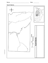
Use a printable outline map that depicts the state of South Dakota.
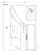
Use a printable outline map that depicts the state of Tennessee.
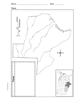
Use a printable outline map that depicts the state of Texas.
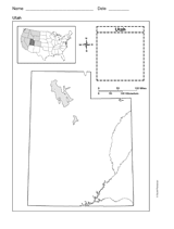
This printable outline map depicts the state of Utah. This will be a useful tool in geography and history classes.
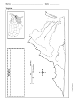
Use a printable outline map that depicts the state of Virginia.
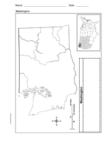
Use a printable outline map that depicts the state of Washington.
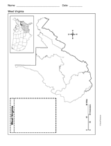
Use a printable outline map that depicts the state of West Virginia.
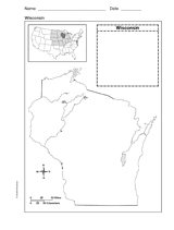
Use a printable outline map that depicts the state of Wisconsin.
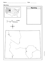
Use a printable outline map that depicts the state of Wyoming.
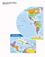
Use this printable map with your students to provide a political and physical view of the world. After learning about…
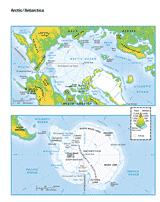
This printable colored map of the Arctic and Antartica is a great printable resource to build students geographical…
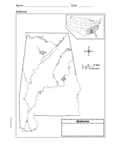
Use a printable outline map that depicts the state of Alabama.
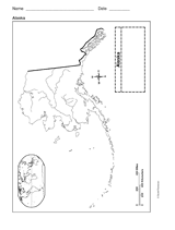
This printable outline of Alaska is a great printable resource to build students geographical skills. This is an…
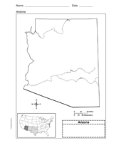
Use a printable outline map that depicts the state of Arizona.
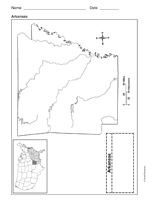
Use a printable outline map that depicts the state of Arkansas.
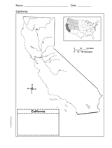
Use a printable outline map that depicts the state of California.
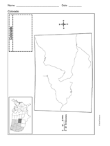
Use a printable outline map that depicts the state of Colorado.
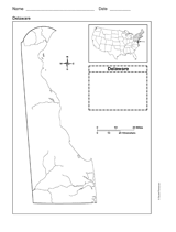
Use a printable outline map that depicts the state of Delaware.