MAPS
In conjunction with a historical study of slavery, students will learn about triangular trade and use maps and a website…
EDITOR'S COLLECTIONS
With this slideshow, you'll discover great maps and geography-related activities to utilize in the classroom. All of…
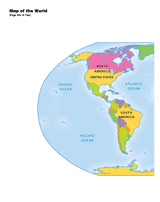
Use a printable 2-page map to provide a full color view of the world. Each continent is labeled. This map will help your…
Students plot the course of Columbus's various expeditions on a map of the world.
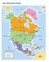
Use this printable map with your students to provide a political and physical view of North America. After learning…
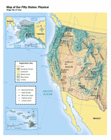
Use this printable map with your students to provide a physical view of the United States. After learning about this key…
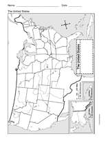
This printable outline of the United States of America is a great printable resource to build students geographical…
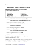
Learn about discovery and exploration in North and South America with this social studies printable. Students will match…
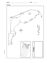
Use a printable outline map that depicts the state of Florida.
Students will review U.S. geography as they create jigsaw puzzles from a printable map. Use this jigsaw puzzle game to…
Students create a survey to use in the Great Mail Race as a way of learning more about the United States.
WORKSHEETS
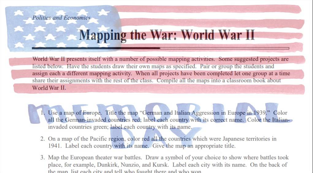
This activity reinforces map skills while integrating the importance of geography in a historical understanding of the…
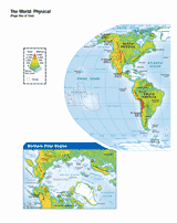
Use this printable map with your students to provide a physical view of the world. After learning about all the key…
This printable outline of Mexico is a great printable resource to build students geographical skills. This is an…
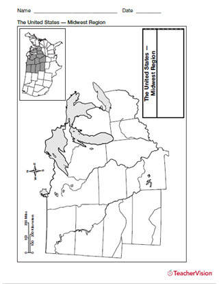
Help students build map skills with this handy printable of the Midwest Use a printable outline map with your students…
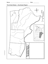
Explore the geography of Texas, Arizona, Oklahoma, and New Mexico with a printable outline map that depicts the…
Use a printable outline map that depicts the state of Michigan.
Use a printable outline map that depicts the state of New York.
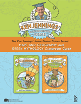
Hold a Junior Genius Jeopardy! Game in your classroom. This printable classroom guide to Ken Jennings' Junior Genius…
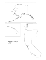
Print this outline map of the Pacific western United States.
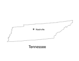
No lesson on "The Volunteer State" would be complete without a state map of Tennessee showing the capital Nashville. Use…
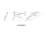
Use this Tennessee state map to help students learn about its physical geography, including borders, state capital,…
This printable geography book challenges your students with critical-thinking and problem-solving activities focused on…
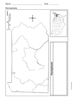
Use a printable outline map that depicts the state of Pennsylvania.