MAPS
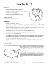
This 40-minute latitude and longitude lesson plan will help students understand how latitude and longitude are used to…
Introduce students to the history and locations of the Modern Olympic Games.
Use this chart to plan the Pilgrim Study Unit (objectives and materials) of six lessons. Students will learn all about…
Making maps will help students to use scale and compasses.
Students create a poster about Australia using fact sheets and a map.
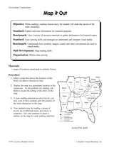
Students use reference materials to gather information about the United States.
In conjunction with a historical study of slavery, students will learn about triangular trade and use maps and a website…
Students will review U.S. geography as they create jigsaw puzzles from a printable map. Use this jigsaw puzzle game to…
Students create a survey to use in the Great Mail Race as a way of learning more about the United States.
Students practice writing and word processing a letter to be used in The Great Mail Race.
Hand out a printable computer activity that reinforces students' basic map skills, as they use the Internet to find the…
Students explore an online resource and learn the names and locations of states by planning a virtual train trip.
Assembling a United States jigsaw puzzle will test the students' knowledge of geography.
On a map, trace a character's travels in a story.
Worksheet that aligns with the lesson, "The United States Commemorative State Quarter Program."