MAPS
Use this lesson with your students to help them Interpret symbols and cardinal directions to locate places on the…
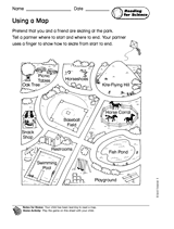
Children learn to read a map.
Students help a bear go through the forest maze back to his cave.
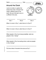
Students use an atlas or globe to find three cities in different time zones, and then answer time-zone-based questions.
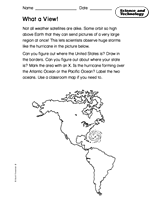
Students learn to read an unlabeled map, and learn basic geography of the Americas.
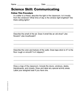
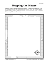
Students describe the classroom, draw a map of it, and measure it.
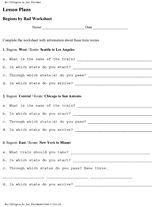
Learn the names and locations of states in certain regions of the United States.
Students create a map that fits the events of a story.
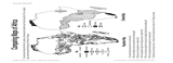
Students compare maps of Africa showing population density and climate.
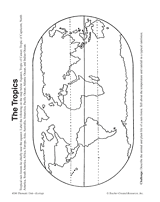
In this activity, students complete and illustrate a map showing the location of the tropics.
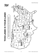
Find the errors in this map of the United States.
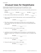
Students learn about latitude-longitude coordinates, while also learning interesting facts about the reptiles and…
EDITOR'S COLLECTIONS
Browse a printable teacher resource book that will stimulate your students' interest in their community and the world…
ACTIVITIES
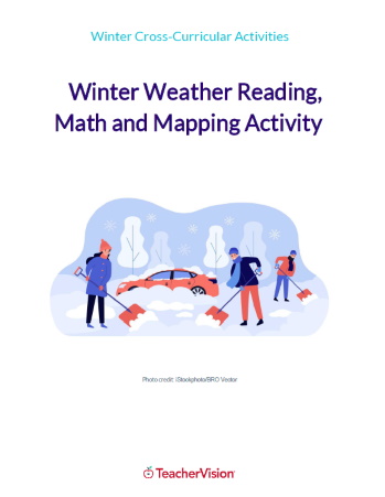
This winter themed activity packet for upper elementary or lower middle grades is perfect for helping students apply the…
WORKSHEETS
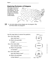
Students us a map of the U.S. to explore polygons and their perimeters.
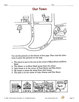
Increase social studies skills with an activity that focuses on making a neighborhood map.
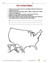
Increase social studies skills with an activity that focuses on locating cities and states on a map.
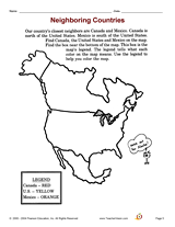
Increase social studies skills with an activity that focuses on a map of North America.
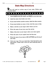
Increase social studies skills with an activity that focuses on mapping out locations in the student's home state.
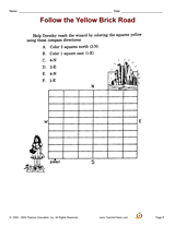
Increase social studies skills with an activity that focuses on following compass directions.
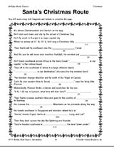
Teach children how to read maps with this printable Christmas game. This is a fun geography activity to enjoy during…
Challenge children to identify which countries have changed their names with this classroom game.
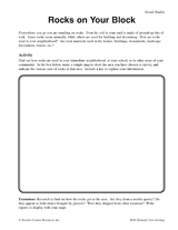
Students make a map of a neighborhood based on where rocks are being used.
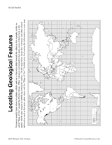
Students make a map of volcanic activity and plate tectonics around the world.