MAPS
This printable outline of Mexico is a great printable resource to build students geographical skills. This is an…
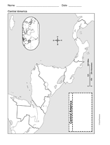
This printable outline of Central America is a great printable resource to build students geographical skills. This is…
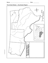
Explore the geography of Texas, Arizona, Oklahoma, and New Mexico with a printable outline map that depicts the…
Use a printable outline map that depicts the state of Michigan.
Use a printable outline map that depicts the state of New York.
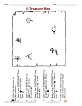
Distribute a printable social studies activity to your students that helps them focus on mapping skills and following…
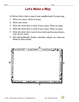
Distribute a printable social studies activity that focuses on a neighborhood map.Pupils will use the map to describe…
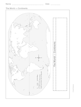
This printable outline of the continents is a great printable resource to build students geographical skills. This is an…
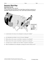
Use the map and key in this printable to evaluate the earthquake risk of different regions in the United States.
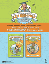
Hold a Junior Genius Jeopardy! Game in your classroom. This printable classroom guide to Ken Jennings' Junior Genius…
Explore Down Under with your child and this map. This printable map outlines the boundaries and regions of Australia.
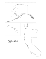
Print this outline map of the Pacific western United States.
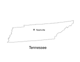
No lesson on "The Volunteer State" would be complete without a state map of Tennessee showing the capital Nashville. Use…
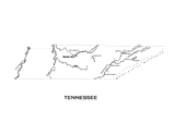
Use this Tennessee state map to help students learn about its physical geography, including borders, state capital,…
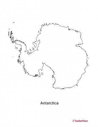
This blank map of Antartica is a great printable resource to teach your students about the geography of this country.…
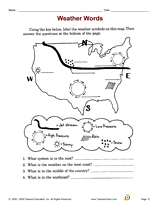
Develop student science skills with an activity that focuses on identifying/interpreting weather words.
EDITOR'S COLLECTIONS
This printable geography book challenges your students with critical-thinking and problem-solving activities focused on…
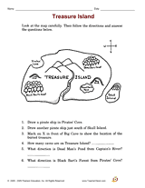
Employ a printable reading activity that helps build skills in reading maps.
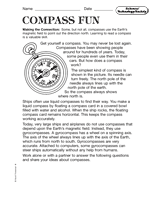
Discuss the various kinds of compasses and maps that are made. Students are then asked to respond to the reading on an…
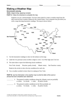
Use the data in this Earth science printable to create a weather map of the United States.
Connect geography, math, and science with this printable. Students will interpret a map and answer questions about time…
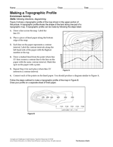
Follow the steps in this Earth science printable to make a topographic profile of a map.
Gauge students' knowledge and understanding of maps and Earth's structure with this printable exam. In the first…
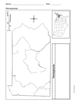
Use a printable outline map that depicts the state of Pennsylvania.