MAPS
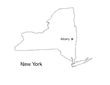
Blank outline map of New York with state capital.
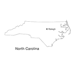
Blank outline map of North Carolina with state capital.
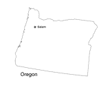
Blank outline map of Oregon with state capital.
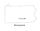
Blank outline map of Pennsylvania with state capital.
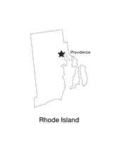
Blank outline map of Rhode Island with state capital.
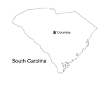
Blank outline map of South Carolina with state capital.
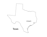
Blank outline map of Texas with state capital.
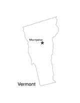
Blank outline map of Vermont with state capital.
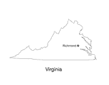
Blank outline map of Virginia with state capital.
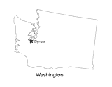
Blank outline map of Washington State with state capital.
PROJECTS
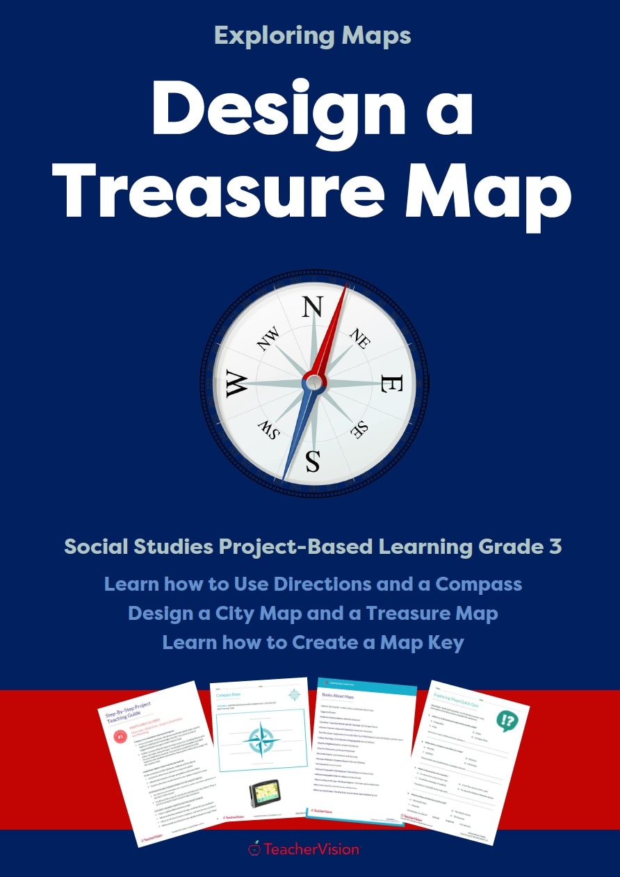
OVERVIEW: This project-based learning lesson is designed to support and reinforce the concepts in a Grade 3 Social…
Distribute a printable social studies activity that focuses on map and globe terminology.
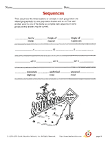
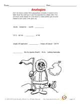
Learn geographic terms by studying how they are related to each other.
Geographical analogies.
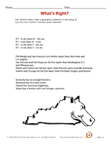
Decide which geographical statement is true out of four choices.
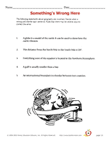
Students re-write incorrect geographical statements.
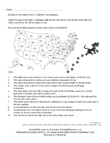
Have students put their knowledge of U.S. geography and trivia to good use in this election activity. Students must use…
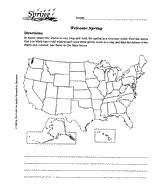
Using a map of the United States, children will identify the states with cold winters.
CHOICE BOARDS
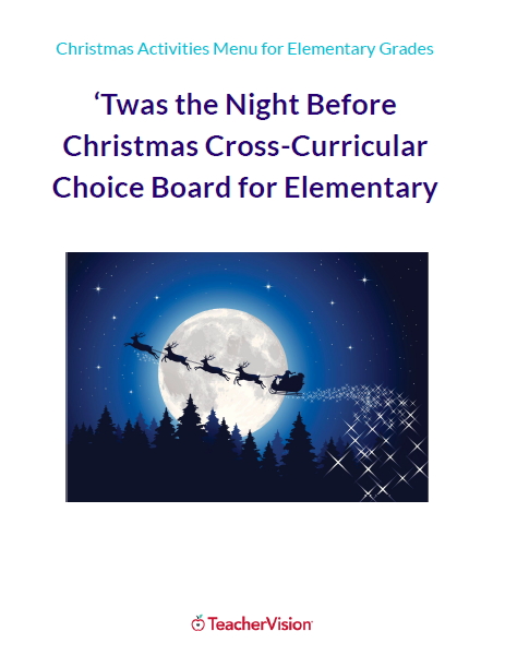
These cross-curricular Christmas activities for elementary students, inspired by the classic festive poem 'Twas the…
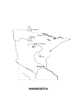
Use this Minnesota state map to help students learn about its physical geography, including borders, state capital,…
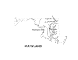
Use this Maryland state map to help students learn about its physical geography, including borders, state capital,…
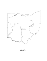
Outline map of Ohio with state physiography.
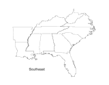
This printable map of the Southeastern United States can be colored and labeled as part of a quiz, test, or project.…
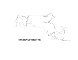
This printable black and white state map of Massachusetts includes all of the physiographic features for the state, and…