MAPS
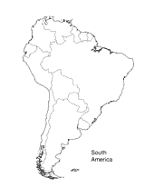
Print this outline map of South America.
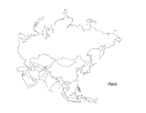
This activity is a great way to teach children about Asia, the largest of the world's continents. Students can use this…
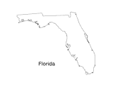
Print out a blank outline map of Florida to help your students learn more about the Sunshine State. This can be used…
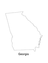
Print out a blank outline map of Georgia to help your students learn more about the this state. This can be used with…
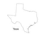
Print out a blank outline map of Texas to help your students learn more about the Lonestar State. This can be used with…
A chart listing U.S. National Parks.
Do you know what language is spoken in Belize? Look at this chart to find the answer to that question and what languages…
Learn about the Geography Hall of Fame with information on the world's largest continent, longest lagoon, and more!
Learn about the differences between climate maps, topographic maps, and others types of maps.
Enhance social studies units with the geography transparencies and visuals in this slideshow. Printable maps on…
ACTIVITIES
Students are asked to identify the location of cities on a map and determine the distances between them. Assesses their…
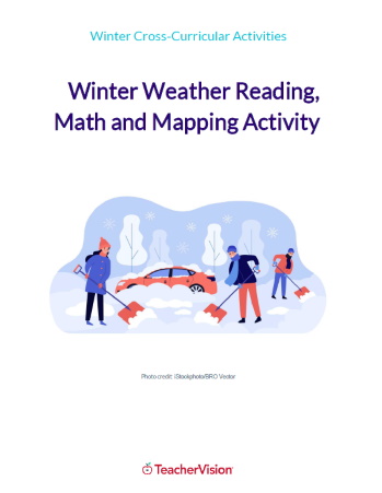
This winter themed activity packet for upper elementary or lower middle grades is perfect for helping students apply the…
Help your students get hooked on history through map activities and story-telling ideas that will make past events come…
Challenge children to identify which countries have changed their names with this classroom game.
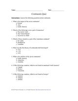
Test your pupils' knowledge of the seven continents with this printable geography quiz.
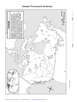
With the map provided, students will draw the boundaries of Canada's provinces and territories. Then, they will label…
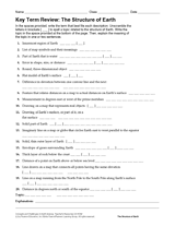
Give students practice with maps as they study the structure of the Earth. In this printable, students will analyze a…
Review Earth's structure and the meaning of map symbols with this vocabulary printable and word puzzle.
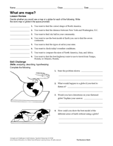
Compare the functions of a map and a globe with this printable. Students must determine which geography resource would…
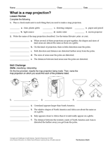
In this geography printable, students identify the objects needed to make a map projection and classify each projection…
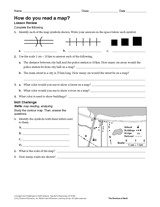
Challenge students to identify map symbols and use a scale to calculate distance. In this social studies printable,…
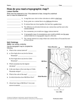
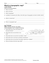
In this social studies printable, students will answer questions about topographic maps and practice map reading.
Review map symbols with this social studies printable. Students will use an atlas or other reference materials to…
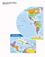
Use this printable map with your students to provide a political and physical view of the world. After learning about…